Deanwood, Residential district in Northeast Washington, United States.
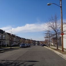
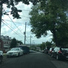
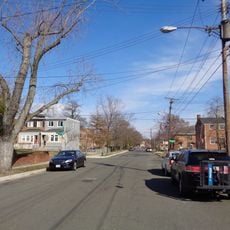
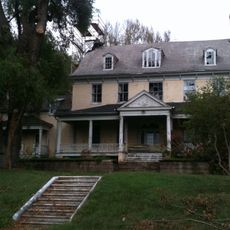
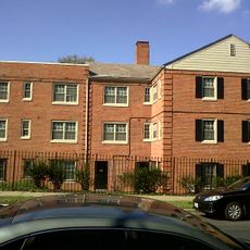
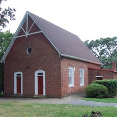
Deanwood is a residential neighborhood in Northeast Washington, D.C., made up of wooden frame and brick houses along tree-lined streets. The blocks alternate between detached single-family homes and small multi-unit buildings, with a few green spaces spread between them.
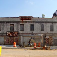
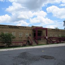
Deanwood was founded in 1888 as a largely self-sufficient settlement on the edge of the city and grew into one of Washington's main Black residential areas during the 20th century. Many residents built their own homes and started businesses and community organizations, giving the neighborhood a strong local identity.
Nannie Helen Burroughs Avenue runs through the neighborhood and is named after a local educator who founded a school for Black women nearby. Visitors walking along the street can spot murals and small memorials that keep this story present in everyday life.
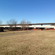
Deanwood Metro station on the Orange Line sits in the heart of the neighborhood and gives a direct link to downtown. Several bus routes also serve the area, so most streets are easy to reach on foot or by public transit.
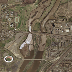
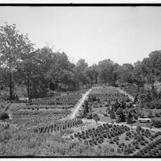
Between 1921 and 1940, Suburban Gardens at 50th and Hayes Streets was one of the only amusement parks in the country owned and run by Black operators and open to Black visitors. Families traveled from across the region to spend a day there, making it a rare gathering point during a period of strict racial segregation.
The community of curious travelers
AroundUs brings together thousands of curated places, local tips, and hidden gems, enriched daily by 60,000 contributors worldwide.