El Escorial

Log in to your account

AroundUs is a community-driven map of interesting places, built by curious explorers like you. It grows with every review, story, and photo you share.
Connect to save your favorite spots, contribute locations, and create personalized routes.
Continue with Google
Continue with Apple
Continue with X
Continue with Facebook
Continue with email
By continuing, you accept our Terms and Conditions and our Privacy Policy
Create an account
Add to collection
Map
Suggest a change
Share

El Escorial, Administrative municipality in Sierra del Guadarrama, Spain

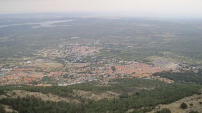
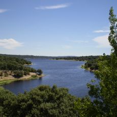
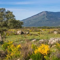
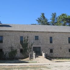
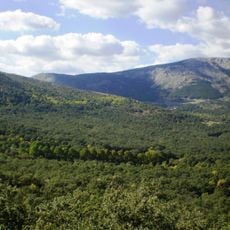
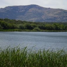
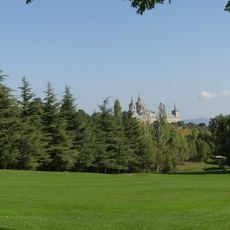
El Escorial is a municipality in the Sierra del Guadarrama within the Community of Madrid, sitting at 909 meters (2,982 feet) elevation. The settlement spreads across mountain terrain and residential districts along the southern slope of the Sierra.

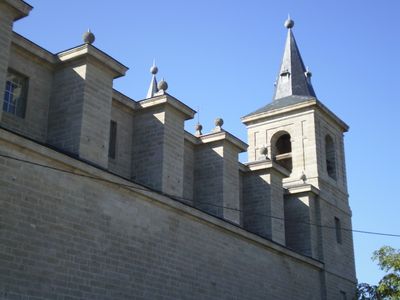
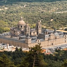
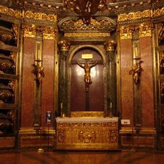
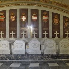
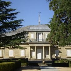
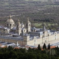
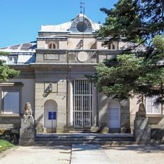
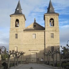
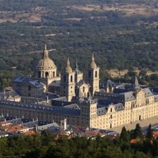
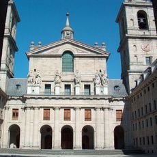
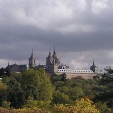
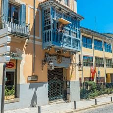
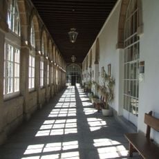
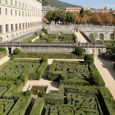
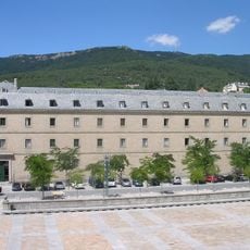
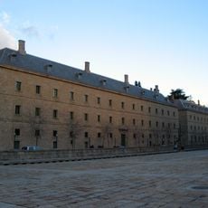
The municipality developed in the shadow of the royal monastery palace built by Philip II during the 16th century in the neighboring settlement. Its current administrative form emerged with the organization of Spanish autonomous regions.

The town shares its name and heritage with neighboring San Lorenzo de El Escorial, where the royal monastery complex has shaped the identity of the area. Visitors walking the streets today notice the mountain character and the layout typical of Sierra communities.

The municipality is reached from Madrid heading northwest through the Sierra foothills. Visitors will find residential areas at different elevations and should be prepared for slopes and inclines throughout the streets.

The municipality belongs simultaneously to three regional associations coordinating mountain development, social services, and waste management. This multiple membership reflects its position between the capital and high mountain terrain.

Location: Community of Madrid

Capital city: El Escorial

Elevation above the sea: 909 m

Part of: Mancomunidade de Concellos da Serra de Guadarrama, Mancomunidad de Servicios Sociales de Sierra Oeste, Mancomunidade do Noroeste para a xestión e tratamento dos residuos urbanos

Shares border with: Valdemorillo, Navalagamella, Robledo de Chavela, Zarzalejo, San Lorenzo de El Escorial, Galapagar, Colmenarejo

Website: http://elescorial.es

GPS coordinates: 40.58161,-4.12512

Latest update: December 13, 2025 17:21

Photos
Reviews

Visited this place? Tap the stars to rate it and share your experience / photos with the community! Try now! You can cancel it anytime.

« El Escorial - Administrative municipality in Sierra del Guadarrama, Spain » is provided by Around Us (aroundus.com). Images and texts are derived from Wikimedia project under a Creative Commons license. You are allowed to copy, distribute, and modify copies of this page, under the conditions set by the license, as long as this note is clearly visible.

Discover hidden gems everywhere you go!

From secret cafés to breathtaking viewpoints, skip the crowded tourist spots and find places that match your style. Our app makes it easy with voice search, smart filtering, route optimization, and insider tips from travelers worldwide. Download now for the complete mobile experience.

Around Us App Screenshot

A unique approach to discovering new places

Le Figaro

All the places worth exploring

France Info

A tailor-made excursion in just a few clicks

20 Minutes