Segura de la Sierra, municipality of Spain
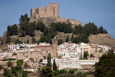
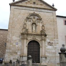
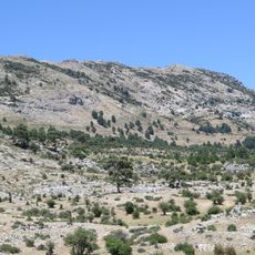
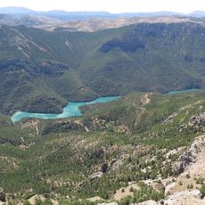
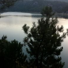
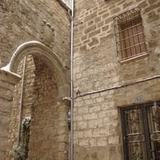
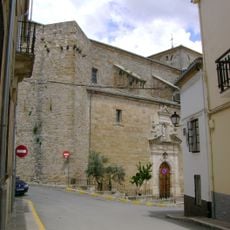
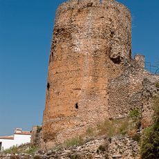
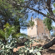
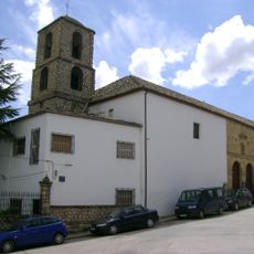
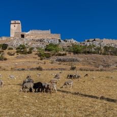
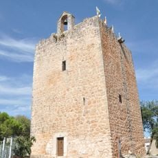
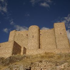
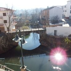
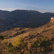
Segura de la Sierra is a small municipality in Jaen Province, Spain, built on a high ridge and surrounded by the Sierra de Segura mountains. It features narrow streets with stone houses, old walls and gates from different periods, and a castle standing on a hilltop above the town.
The settlement dates back to ancient times, with cave paintings nearby showing human presence thousands of years ago. During the Moorish period it grew and later was modified by Christian forces, with the castle and walls still standing as evidence of these changes.
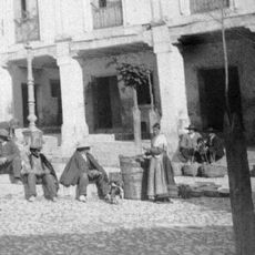
The town takes its name from the Sierra de Segura mountains that surround it. Daily life here centers on local festivals like the Virgin of the Rosary celebration, when streets fill with music and traditional dances. People gather in squares, share locally made food, and keep alive customs passed down through generations.
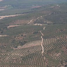
Plan a visit by car, as the winding roads offer scenic views and good navigation. The drive from larger cities like Jaén takes about two hours, passing through forests and small villages, which becomes part of the experience itself.
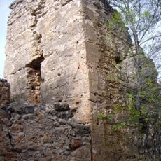
The Moorish baths dating to the 11th century are over 900 years old and still preserve their original beauty with horseshoe arches and vaults carved from stone. Visitors can enter these chambers with warm and cold water pools and gain insight into daily life from centuries past without any admission fee.
The community of curious travelers
AroundUs brings together thousands of curated places, local tips, and hidden gems, enriched daily by 60,000 contributors worldwide.