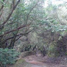
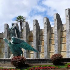
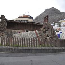
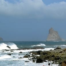
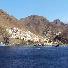
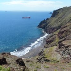
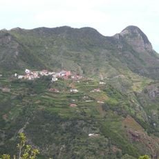
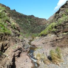
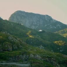
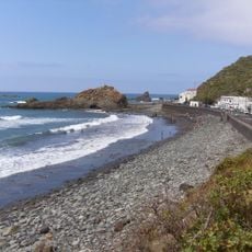
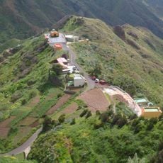
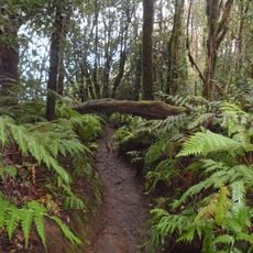
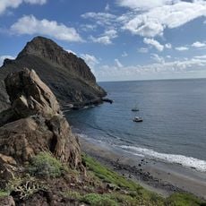
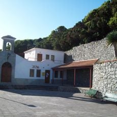
Anaga, administrative district in Santa Cruz de Tenerife, Spain
Location: Santa Cruz de Tenerife
GPS coordinates: 28.53170,-16.20878
Latest update: March 14, 2025 12:09
Playa de Las Teresitas
3.4 km
Anaga Rural Park
2.4 km
Monumento a Franco
7.2 km
Playa de Benijo
5.4 km
San Andrés Castle
3.5 km
Roques de Anaga
8.8 km
Chamorga
6.4 km
Valleseco
5.6 km
Playa de Las Gaviotas
3.8 km
Cruz del Carmen
6.9 km
Pico del Inglés
5.4 km
Paso Alto Castle
6.5 km
Taborno
6.1 km
Ifara
7.3 km
Fuerte de Almeyda
7.3 km
Las Carboneras
7.1 km
Barranco de Afur
4.8 km
Church of San Andrés
3.3 km
Roque Negro
4 km
Playa del Roque de las Bodegas
4.2 km
Catalanes (Santa Cruz de Tenerife)
4.6 km
Reserva natural integral del Pijaral
4 km
Playa de Antequera
7.5 km
Casas de La Cumbre
5.2 km
Iglesia de San José Santa Cruz de Tenerife
7.5 km
Iglesia de Nuestra Señora de las Nieves
3.3 km
Club Náutico
6.7 km
Punta de Anaga Lighthouse
8.7 kmReviews
Visited this place? Tap the stars to rate it and share your experience / photos with the community! Try now! You can cancel it anytime.
Discover hidden gems everywhere you go!
From secret cafés to breathtaking viewpoints, skip the crowded tourist spots and find places that match your style. Our app makes it easy with voice search, smart filtering, route optimization, and insider tips from travelers worldwide. Download now for the complete mobile experience.
A unique approach to discovering new places❞
— Le Figaro
All the places worth exploring❞
— France Info
A tailor-made excursion in just a few clicks❞
— 20 Minutes