
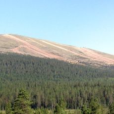
Lumikero, fell in Enontekiö, Finland
Location: Enontekiö
Elevation above the sea: 660 m
GPS coordinates: 68.17170,24.02170
Latest update: June 15, 2025 12:32
Ylläs
68.1 km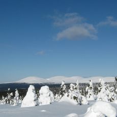
Pallastunturi
13.5 km
Pakasaivo
62.4 km
Pallas-Yllästunturi National Park
8.8 km
Taivaskero
10.9 km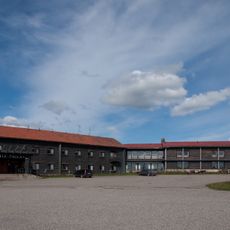
Hotel Pallas
14 km
Olostunturi
28.9 km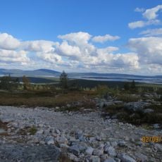
Särkitunturi
34.1 km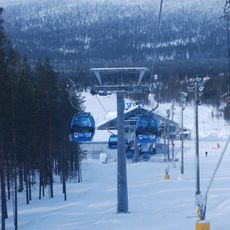
Gondoli2000
54.3 km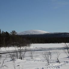
Keimiötunturi
25.6 km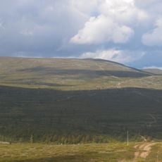
Pyhäkero
19.9 km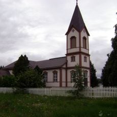
Kittilä Church
66.9 km
Laukukero
12 km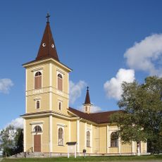
Muonio Church
28.4 km
Akamella
28.1 km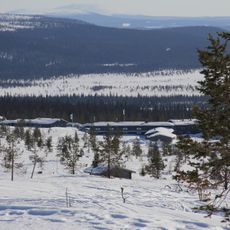
Pallastunturi Visitor Centre
14.1 km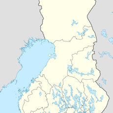
Pahakuru
7.5 km
Palsa Museum
68.3 km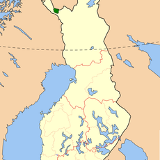
Tarvantovaara Wilderness Area
67 km
Outtakka
10.6 km
Ungelo croft
28.4 km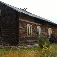
Enontekiö Local History Museum
28.4 km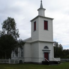
Muodoslompolo Church
35.1 km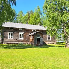
Kittilä Local History Museum
68.9 km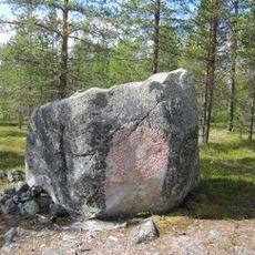
Seitakivi
30.8 km
Pyhätunturi (kulle i Lappland, Tunturi-Lappi, lat 67,68, long 24,30)
56 km
Saint Mary Chapel
52.4 km
Palkaskero
13.5 kmReviews
Visited this place? Tap the stars to rate it and share your experience / photos with the community! Try now! You can cancel it anytime.
Discover hidden gems everywhere you go!
From secret cafés to breathtaking viewpoints, skip the crowded tourist spots and find places that match your style. Our app makes it easy with voice search, smart filtering, route optimization, and insider tips from travelers worldwide. Download now for the complete mobile experience.

A unique approach to discovering new places❞
— Le Figaro
All the places worth exploring❞
— France Info
A tailor-made excursion in just a few clicks❞
— 20 Minutes