Aiguilles d'Arves

Log in to your account

AroundUs is a community-driven map of interesting places, built by curious explorers like you. It grows with every review, story, and photo you share.
Connect to save your favorite spots, contribute locations, and create personalized routes.
Continue with Google
Continue with Apple
Continue with X
Continue with Facebook
Continue with email
By continuing, you accept our Terms and Conditions and our Privacy Policy
Create an account

Aiguilles d'Arves

Add to collection
Map
Suggest a change
Share

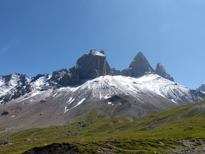
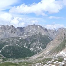
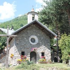
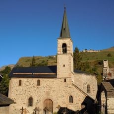
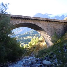
Aiguilles d'Arves, Mountain peaks in Savoie, France.

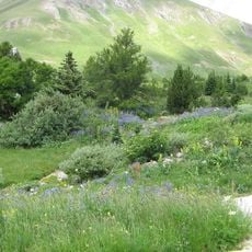
The Aiguilles d'Arves are three distinct peaks in the French Alps, with the highest reaching 3,514 meters. These summits rise together as a sharp silhouette, forming a striking landmark that defines the mountain landscape of the area.

The Central Peak was first climbed in 1839 by brothers Pierre Alexis and Benoît Nicolas Magnin. This early ascent marked the beginning of documented mountaineering history in this Alpine region.

The Northern Peak earned the name Tête de Chat because of its resemblance to a cat's head, reflecting the local tradition of naming peaks after familiar shapes. Hikers immediately recognize this connection when viewing the mountain from below.

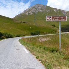
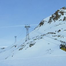
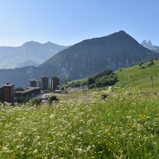
Multiple hiking routes start from Le Chalmieu in Albiez-Montrond and offer various difficulty levels. Routes range from about 1.5 hours for shorter walks to full-day excursions for more experienced hikers.

The Magnin brothers left Sardinian coins at the summit to mark their first ascent. This practice became an early tradition in mountaineering culture, helping future climbers learn about previous accomplishments.

Location: Saint-Jean-d'Arves

Location: Valloire

Location: La Grave

Elevation above the sea: 3,514 m

GPS coordinates: 45.12306,6.33444

Latest update: December 6, 2025 16:04

Photos
Natural areas in France: mountain lakes, limestone gorges, and forests

France features a notable variety of protected natural areas, showcasing the country’s geological and ecological richness. From Lake Allos in the Alpes-de-Haute-Provence to the underground rivers of Padirac in Dordogne, from the mountain ranges of Savoy to the limestone formations of the Ardèche...

Reviews

Visited this place? Tap the stars to rate it and share your experience / photos with the community! Try now! You can cancel it anytime.

« Aiguilles d'Arves - Mountain peaks in Savoie, France » is provided by Around Us (aroundus.com). Images and texts are derived from Wikimedia project under a Creative Commons license. You are allowed to copy, distribute, and modify copies of this page, under the conditions set by the license, as long as this note is clearly visible.

Discover hidden gems everywhere you go!

From secret cafés to breathtaking viewpoints, skip the crowded tourist spots and find places that match your style. Our app makes it easy with voice search, smart filtering, route optimization, and insider tips from travelers worldwide. Download now for the complete mobile experience.

Around Us App Screenshot

A unique approach to discovering new places

Le Figaro

All the places worth exploring

France Info

A tailor-made excursion in just a few clicks

20 Minutes