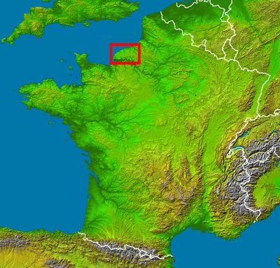
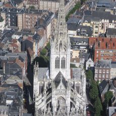
Pays de Caux, Natural region in Seine-Maritime, France.
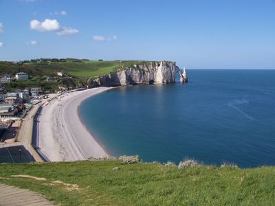
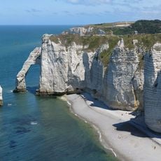
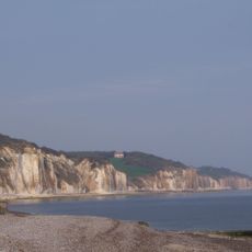
Pays de Caux is a limestone plateau between the Seine River and the English Channel, featuring white chalk cliffs along its northern coast. The region spreads across farmland, pastures, and woodlands, interrupted by traditional farmyards and scattered villages.
The region took its name from the Celtic tribe Caletes, who established their capital at Caracotinum, present-day Harfleur, during the Gallo-Roman period. This early settlement laid the foundation for centuries of agricultural development across the plateau.
Traditional enclosed farmyards called Clos Masure shape the landscape with main houses, farm buildings, and orchards surrounded by beech hedges. This design reflects how rural communities organized their daily life and work across the plateau.
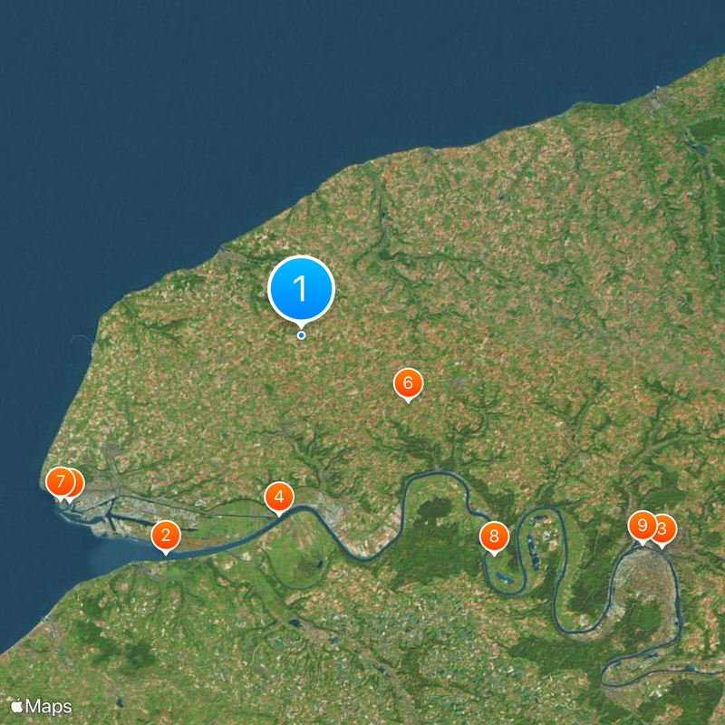
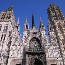
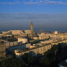
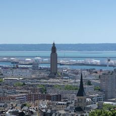
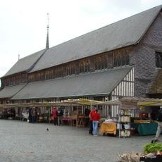
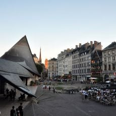
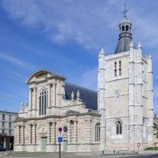
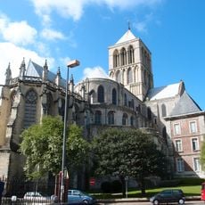
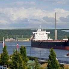
The main towns of Le Havre, Dieppe, Fécamp, and Yvetot serve as reference points and gateways for exploring the surrounding roads and country lanes. Local markets in these places offer insight into regional produce and daily commerce across the territory.
The region produces the world's largest quantity of high-quality flax, with Doudeville recognized as its flax capital. This crop has shaped local commerce and craft traditions for generations.
The community of curious travelers
AroundUs brings together thousands of curated places, local tips, and hidden gems, enriched daily by 60,000 contributors worldwide.