Enable Location

We need your location to show you interesting places around you

Discover nearby places

Find interesting locations and hidden gems around you

Precise directions

Get accurate directions and distances to places

Your location is never shared with other users. It's only used when you tap the location button.

Kathua district

Log in to your account

Start exploring — it's free

Trusted by 63,300 travelers worldwide

Continue with Google
Continue with Apple
or

We will send you a code to connect

By continuing, you accept our Terms and Conditions and our Privacy Policy

Check your inbox

We've sent a pincode in your inbox. Please enter the code below.

Discussion Reviews 1 Photos
22.5k Popularity

Kathua district, Administrative district in Jammu and Kashmir, India

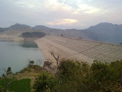
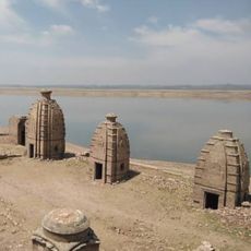
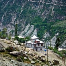
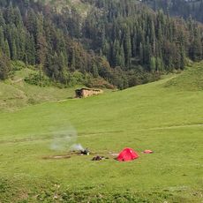
Kathua district spreads between flat plains and Himalayan foothills, mixing agricultural land with rising terrain. Rivers wind through valleys and fields, with villages and towns scattered across the varied landscape.

The region traces back to the ancient Kathaioi state, which successfully resisted during Alexander's campaigns in the 4th century BCE. This early independence marked the territory as a distinct political entity before later annexations.

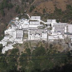
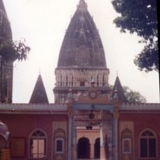
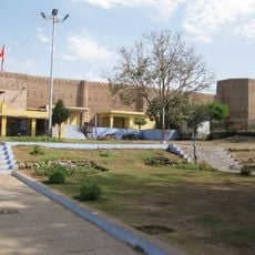
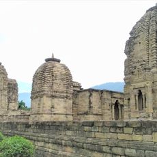
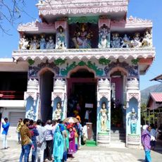
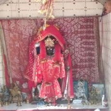
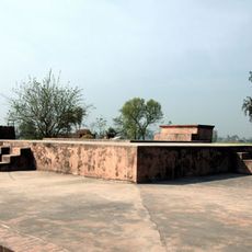
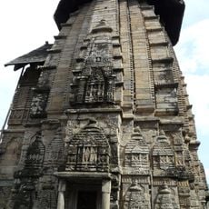
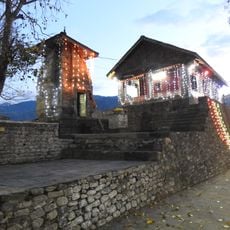
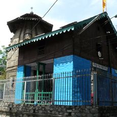
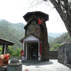
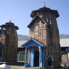
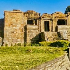
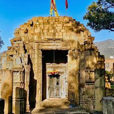
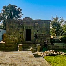
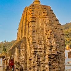
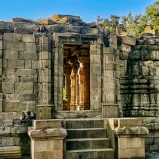
Religious sites scatter across the villages, serving Hindu, Muslim, and Sikh communities who share the same landscape. These gathering places shape local traditions and daily rhythms for people of different faiths.

National Highway 44 connects this region to larger cities, making travel straightforward. Eight administrative blocks handle local services across the many villages throughout the territory.

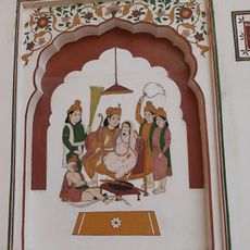
Basohli, a town here, preserves a painting tradition from the 17th century with bold colors and distinctive features. This local art form remains part of the town's identity and is still practiced today.

The community of curious travelers

AroundUs brings together thousands of curated places, local tips, and hidden gems, enriched daily by 60,000 contributors worldwide.

Start exploring
Location
Capital city
Kathua
Shares border with
Gurdaspur district
GPS coordinates
32.58333,75.50000
Latest update
December 20, 2025 16:00
Reviews
Share your experience

No review yet

Discussions
Start a discussion...

No discussion yet

« Kathua district - Administrative district in Jammu and Kashmir, India » is provided by Around Us (aroundus.com). Images and texts are derived from Wikimedia project under a Creative Commons license. You are allowed to copy, distribute, and modify copies of this page, under the conditions set by the license, as long as this note is clearly visible.

Discover hidden gems everywhere you go!

From secret cafés to breathtaking viewpoints, skip the crowded tourist spots and find places that match your style. Our app makes it easy with voice search, smart filtering, route optimization, and insider tips from travelers worldwide. Download now for the complete mobile experience.

Around Us App Screenshot

A unique approach to discovering new places

Le Figaro

All the places worth exploring

France Info

A tailor-made excursion in just a few clicks

20 Minutes

Around Us
Travel Guide & Maps
Download

Send to your phone

QR Code
1

Open the camera app on your mobile.

2

Point at the QR code with your camera. A notification will appear.

3

Tap the notification to open the link.