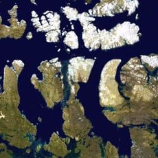
Mer de Melville, Arctic sea in Canadian Arctic Archipelago, Canada.
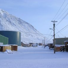
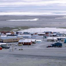
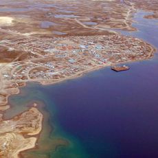
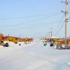
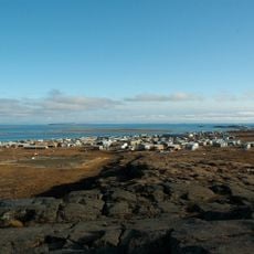
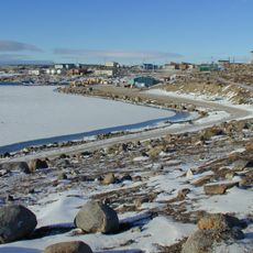
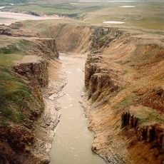
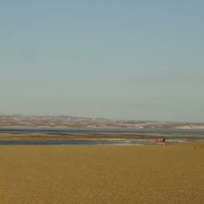
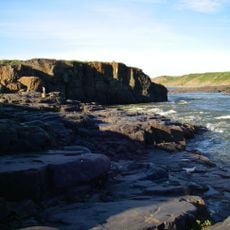
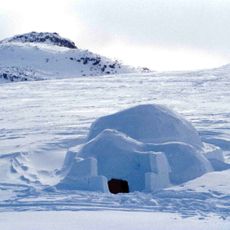
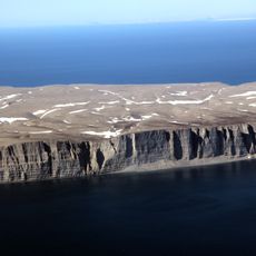
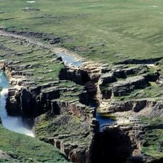
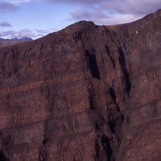
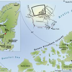
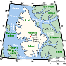
Melville Sea is an Arctic body of water stretching between Victoria Island and Banks Island in the far north of the Canadian Arctic Archipelago. Ice covers much of the sea for most of the year, creating a harsh landscape where navigation is severely limited and conditions remain extreme.
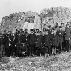
British explorer Sir William Parry first documented these waters during his Arctic expedition in 1819 and recorded his findings in his journals. The water was named after Robert Saunders Dundas, Second Viscount Melville, who supported British Arctic exploration efforts.
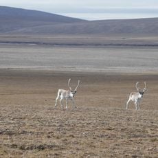
Inuit communities in the region have hunted seals, whales, and fish in these waters for generations, and these activities continue to shape how local people relate to the sea and its seasonal patterns.
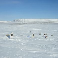
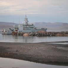
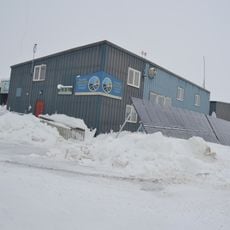
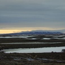
Access to this area is limited to the warmest months when ice conditions briefly permit passage, and requires specialized icebreaker or expedition vessels. Visitors should expect extreme weather, minimal infrastructure, and vast distances, requiring thorough preparation before any journey.
The sea forms part of the fabled Northwest Passage, a shipping route that explorers and sailors searched for across centuries. As ice retreats, this historic corridor is now becoming passable year after year, marking a striking shift in Arctic navigation.
The community of curious travelers
AroundUs brings together thousands of curated places, local tips, and hidden gems, enriched daily by 60,000 contributors worldwide.