
Carling, township municipality in Parry Sound District, Ontario, Canada
Location: Parry Sound District
Shares border with: Whitestone, The Archipelago
Website: https://carling.ca
GPS coordinates: 45.43333,-80.23917
Latest update: April 21, 2025 06:20
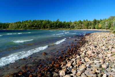
Killbear Provincial Park
8.3 km
Georgian Bay Islands National Park
68.1 km
Awenda Provincial Park
67.1 km
The Massasauga Provincial Park
27.2 km
Lion's Head Provincial Park
89.7 km
Grundy Lake Provincial Park
60.7 km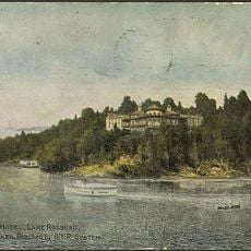
Royal Muskoka Hotel
57.6 km
Oastler Lake Provincial Park
25.5 km
Six Mile Lake Provincial Park
70.5 km
Georgian Bay Littoral
19.8 km
CPR Trestle Bridge
19.1 km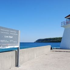
Lion's Head Light
93.2 km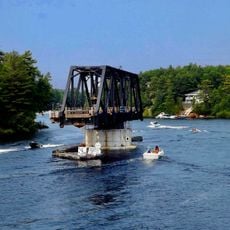
Wasauksing Swing Bridge
20.1 km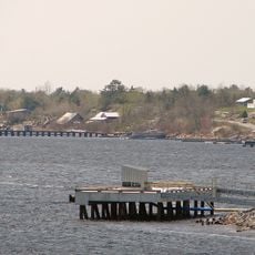
Byng Inlet
47.5 km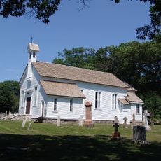
St. James on-the-Lines
76 km
Carhagouha
75.1 km
Magnetawan River Provincial Park
29 km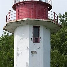
Cape Croker Light
77.6 km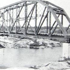
Pickerel River CNoR bridge
73.8 km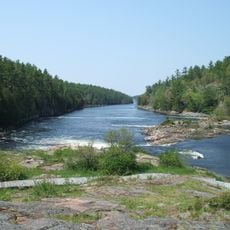
French River Provincial Park
77 km
Cabot Head Provincial Nature Reserve
97.9 km
Bobby Orr Hall of Fame
18.8 km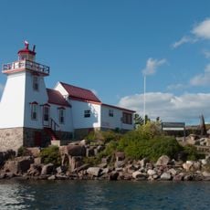
Pointe au Baril Lighthouse
24.9 km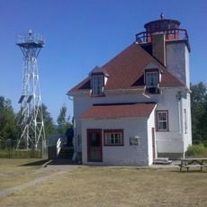
Cabot Head Lighthouse
85 km
Tower Hill Garden
19.5 km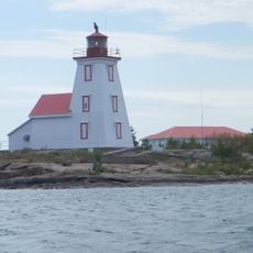
Gereaux Island Lightstation
47.6 km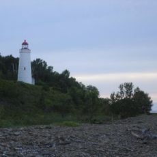
Griffith Island Light
82.6 km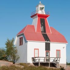
Snug Harbour Rear Range Lighthouse
8.7 kmReviews
Visited this place? Tap the stars to rate it and share your experience / photos with the community! Try now! You can cancel it anytime.
Discover hidden gems everywhere you go!
From secret cafés to breathtaking viewpoints, skip the crowded tourist spots and find places that match your style. Our app makes it easy with voice search, smart filtering, route optimization, and insider tips from travelers worldwide. Download now for the complete mobile experience.

A unique approach to discovering new places❞
— Le Figaro
All the places worth exploring❞
— France Info
A tailor-made excursion in just a few clicks❞
— 20 Minutes