Enable Location

We need your location to show you interesting places around you

Discover nearby places

Find interesting locations and hidden gems around you

Precise directions

Get accurate directions and distances to places

Your location is never shared with other users. It's only used when you tap the location button.

Leer

Log in to your account

Start exploring — it's free

Trusted by 62,843 travelers worldwide

Continue with Google
Continue with Apple
or

We will send you a code to connect

By continuing, you accept our Terms and Conditions and our Privacy Policy

Check your inbox

We've sent a pincode in your inbox. Please enter the code below.

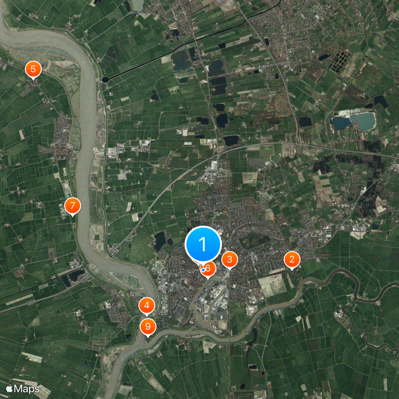
Leer, Administrative district in Lower Saxony, Germany.

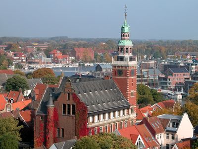
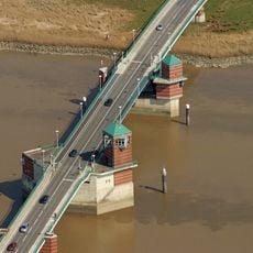
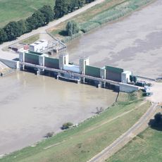
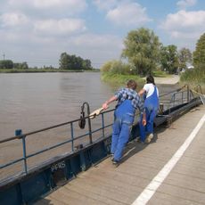
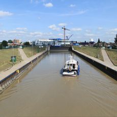
Leer is an independent city in East Frisia that also serves as district capital for the surrounding county. The city sits at the confluence of several waterways and extends along both banks of the Leda river.

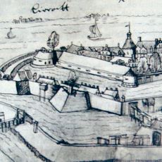
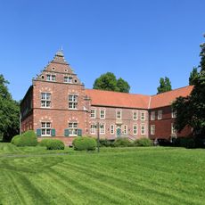
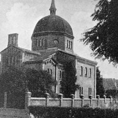
The city received its town charter in the 14th century and grew into an important trading port for East Frisia. After World War II, the current administrative structure was created through territorial reforms.

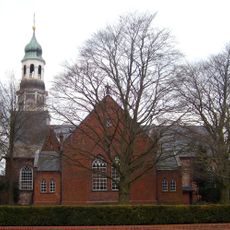
The name Leer comes from the Old Frisian word for empty or open landscape, describing the wide marshland character of the region. The administrative structure connects urban and rural communities, with each maintaining its own local traditions.

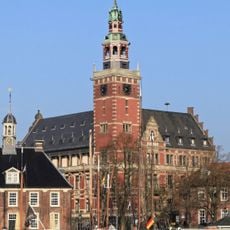
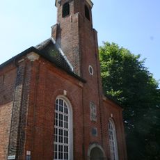
The town hall in the city center provides orientation for visitors wanting to learn about administrative functions. Most public buildings are within walking distance from the center.

The city combines two administrative levels within a single authority, which is rare in Germany. This dual function allows more direct coordination between municipal services and regional planning.

The community of curious travelers

AroundUs brings together thousands of curated places, local tips, and hidden gems, enriched daily by 60,000 contributors worldwide.

Start exploring
Location
Elevation above the sea
7 m
Shares border with
Nortmoor, Brinkum, Weener
Website
GPS coordinates
53.23083,7.45278
Latest update
December 15, 2025 06:57
« Leer - Administrative district in Lower Saxony, Germany » is provided by Around Us (aroundus.com). Images and texts are derived from Wikimedia project under a Creative Commons license. You are allowed to copy, distribute, and modify copies of this page, under the conditions set by the license, as long as this note is clearly visible.

Discover hidden gems everywhere you go!

From secret cafés to breathtaking viewpoints, skip the crowded tourist spots and find places that match your style. Our app makes it easy with voice search, smart filtering, route optimization, and insider tips from travelers worldwide. Download now for the complete mobile experience.

Around Us App Screenshot

A unique approach to discovering new places

Le Figaro

All the places worth exploring

France Info

A tailor-made excursion in just a few clicks

20 Minutes

Around Us
Travel Guide & Maps
Download

Send to your phone

QR Code
1

Open the camera app on your mobile.

2

Point at the QR code with your camera. A notification will appear.

3

Tap the notification to open the link.