
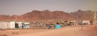
Ali Adde, town in Djibouti
Location: Ali Sabieh Region
Elevation above the sea: 525 m
GPS coordinates: 11.15000,42.85000
Latest update: April 7, 2025 23:18
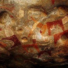
Laas Gaal
231.7 km
Nabro Volcano
277.5 km
Yangudi Rassa National Park
220.9 km
Day Forest National Park
74.6 km
Mousa Ali
154.6 km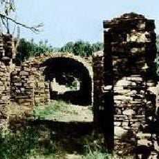
Amud
134.8 km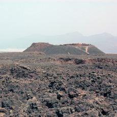
Ardoukoba
64.2 km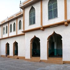
Jamia Mosque
219 km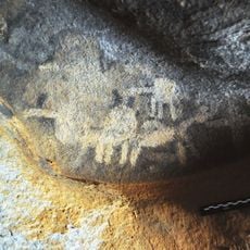
Dhaymoole
265.8 km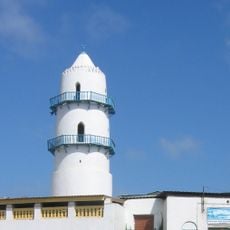
Hamoudi Mosque
58.9 km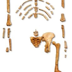
Lower Valley of the Awash
248.1 km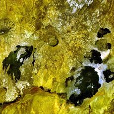
Adwa
251.8 km
Handoga
66 km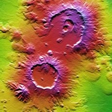
Mallahle
270.1 km
Manda Hararo
249.4 km
Harar Wildlife Sanctuary
268.2 km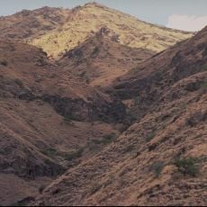
Mount Ayalu
263.2 km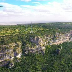
Gaanlibah
258.5 km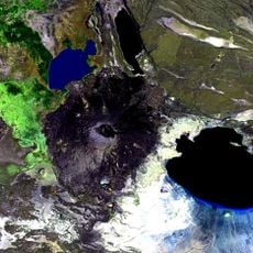
Mount Dama Ali
134.9 km
Sork Ale
257.6 km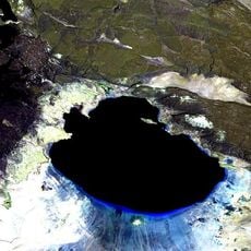
Boina (fumarolové pole)
111.6 km
Asavyo
256.3 km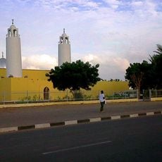
Salman Mosque
57.2 km
Harar Jugol, the Fortified Historic Town
219.3 km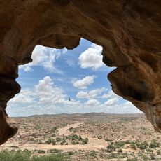
Laas Geel
231.6 km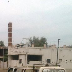
Odeon Cinema
59.4 km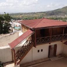
Rimbaud House
219.2 km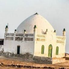
Masjid al-Qiblatayn
71.8 kmReviews
Visited this place? Tap the stars to rate it and share your experience / photos with the community! Try now! You can cancel it anytime.
Discover hidden gems everywhere you go!
From secret cafés to breathtaking viewpoints, skip the crowded tourist spots and find places that match your style. Our app makes it easy with voice search, smart filtering, route optimization, and insider tips from travelers worldwide. Download now for the complete mobile experience.

A unique approach to discovering new places❞
— Le Figaro
All the places worth exploring❞
— France Info
A tailor-made excursion in just a few clicks❞
— 20 Minutes