Harar Wildlife Sanctuary

Log in to your account

AroundUs is a community-driven map of interesting places, built by curious explorers like you. It grows with every review, story, and photo you share.
Connect to save your favorite spots, contribute locations, and create personalized routes.
By continuing, you accept our Terms and Conditions and our Privacy Policy

Harar Wildlife Sanctuary

Add to collection
Map
Suggest a change
Share

Harar Wildlife Sanctuary, Protected wildlife area in East Hararghe Zone, Ethiopia

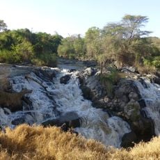
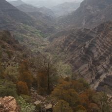
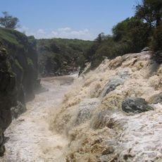
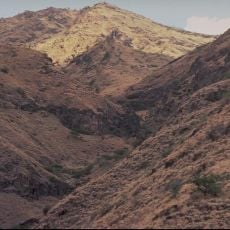
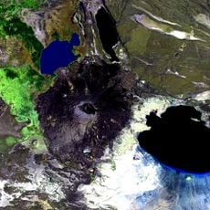
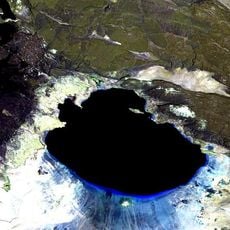
Harar Wildlife Sanctuary is a protected area in East Hararghe Zone that covers diverse landscapes shaped by valleys and waterways. The terrain includes the valleys formed by the Erer, Dakata, and Fafen rivers, with elevations reaching approximately 1,750 meters (5,740 feet).

The sanctuary was established in 1970 to protect a native elephant subspecies found in the region. This designation marked the beginning of organized conservation efforts for the area and its wildlife.

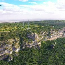
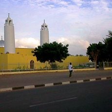
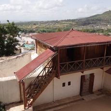
Local communities maintain traditional ways of life within and around this protected space, depending on its natural resources as they have for generations. The sanctuary represents an ongoing relationship between people and land rather than a place completely separated from human use.

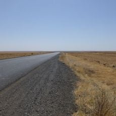
Access is possible through nearby towns, though facilities in the area remain basic and limited. A guide is essential if you want to explore the protected zones and understand what you are seeing.

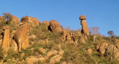
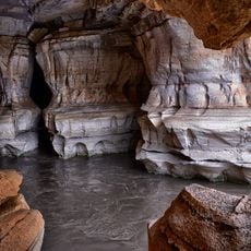
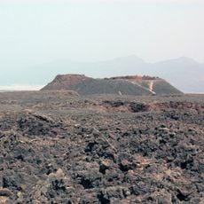
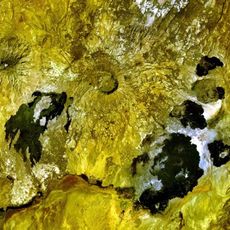
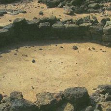
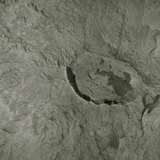
The Valley of Marvels contains unusual rock formations shaped during the Precambrian era that have survived for millions of years. These geological features offer a glimpse into the ancient forces that shaped this landscape.

GPS coordinates: 8.75000,42.63330

Latest update: December 6, 2025 17:46

Photography locations in Ethiopia

Ethiopia offers photographers a range of subjects from medieval architecture to geologically active zones. In the north, Lalibela features eleven churches carved from solid tuff rock during the 12th and 13th centuries, while Axum holds obelisks from the Aksumite Empire that flourished from the 1st to 10th centuries. The Gheralta region of Tigray contains dozens of churches built into cliff faces, accessible via steep trails.The landscape extends from the peaks of the Simien Mountains, rising above 15,000 feet (4,500 meters), to the Danakil Depression, one of the lowest and hottest places on Earth. Bale Mountains National Park supports Ethiopian wolves in afroalpine moorlands, while Awash National Park features acacia woodlands and hot springs. The walled city of Harar Jugol, with its 368 lanes and 82 mosques dating from the 16th century, displays Islamic architecture. The monasteries on Lake Tana islands hold manuscripts from the 14th to 18th centuries, and in Gondar, Fasil Ghebbi documents Ethiopian rule through its 17th and 18th century palaces and churches.

Reviews

Visited this place? Tap the stars to rate it and share your experience / photos with the community! Try now! You can cancel it anytime.

« Harar Wildlife Sanctuary - Protected wildlife area in East Hararghe Zone, Ethiopia » is provided by Around Us (aroundus.com). Images and texts are derived from Wikimedia project under a Creative Commons license. You are allowed to copy, distribute, and modify copies of this page, under the conditions set by the license, as long as this note is clearly visible.

Discover hidden gems everywhere you go!

From secret cafés to breathtaking viewpoints, skip the crowded tourist spots and find places that match your style. Our app makes it easy with voice search, smart filtering, route optimization, and insider tips from travelers worldwide. Download now for the complete mobile experience.

Around Us App Screenshot

A unique approach to discovering new places

Le Figaro

All the places worth exploring

France Info

A tailor-made excursion in just a few clicks

20 Minutes