Saida, municipality of Algeria
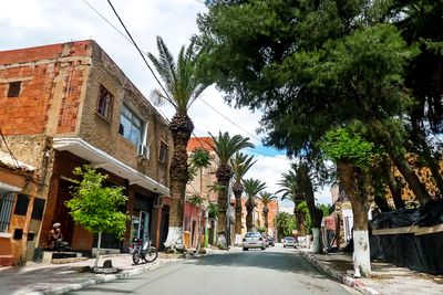
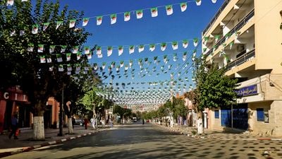
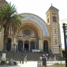
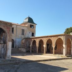
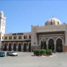
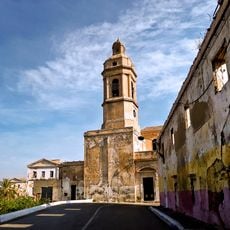
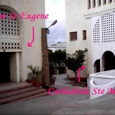
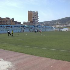
Saida is a city in the Saïda District of northwestern Algeria, sitting between the high plains and the northern edge of the Sahara. The older part of the city is made up of closely packed buildings with narrow alleys, while newer neighborhoods open up with wider roads and shops.
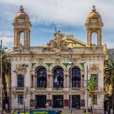
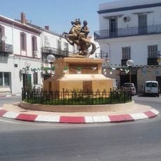
Saida traces its origins to a Berber settlement that grew into a trading stop along routes connecting the Sahara to the northern coast. The Ottoman period strengthened its role as a commercial hub, and French colonial rule later left a mark on some parts of the urban layout.
The weekly markets of Saida draw traders and locals together, filling the streets with the smell of spices and the sound of bargaining. Sitting in one of the small cafés nearby, you can watch the rhythm of daily life unfold around you.
The city center and the old quarter are easy to cover on foot, as the distances are short and the streets are generally walkable. Going out in the early morning or late afternoon is more comfortable, since midday heat can be strong depending on the season.
The land around Saida has long been home to alfa grass, a tough plant that was once harvested in large quantities to make paper in Europe. This trade brought outside connections to a city that might otherwise seem far from major exchange routes.
The community of curious travelers
AroundUs brings together thousands of curated places, local tips, and hidden gems, enriched daily by 60,000 contributors worldwide.