
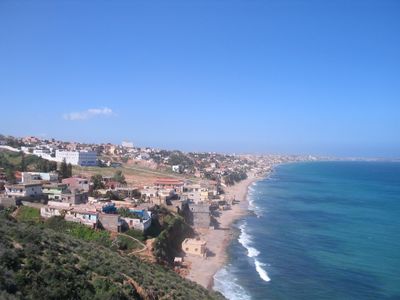
Aïn El Turk, municipality of Algeria
Location: Aïn El Turk District
Inception: 1868
Elevation above the sea: 272 m
Shares border with: Mers El Kebir
GPS coordinates: 35.74083,-0.74917
Latest update: March 21, 2025 17:36
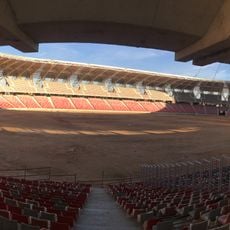
Miloud Hadefi Stadium
18.1 km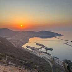
Santa Cruz Fort
8.5 km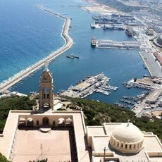
Santa Cruz chapel
8.5 km
Sheraton Oran Hotel and Towers
13 km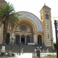
Cathédrale du Sacré-Cœur d'Oran
10.3 km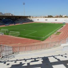
Stade Ahmed Zabana
12.1 km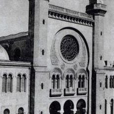
Abdallah Ibn Salam Mosque
10 km
Ahmed Zabana National Museum
10.6 km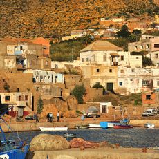
Kristel
25.8 km
Bey's Palace
9.9 km
Oran
11 km
Abdelhamid Ben Badis Mosque
13.8 km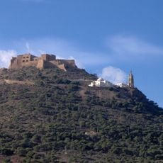
Aïdour
8.2 km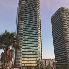
Bahia Center
11.7 km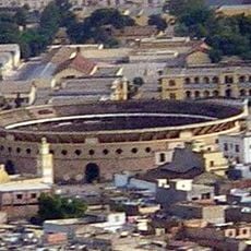
Bullring of Oran
9.6 km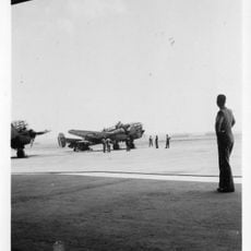
Base aérienne 141 Oran la Sénia
17.8 km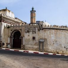
Hassan Pasha Mosque
9.5 km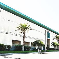
Centre de conventions d'Oran
14.5 km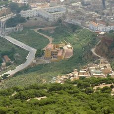
La Calère
9.3 km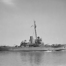
HMS Walney
5.8 km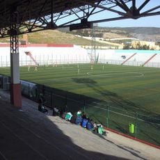
Stade Habib Bouakeul
9.6 km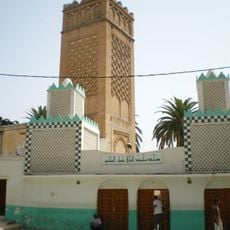
Imam el-Houari Mosque
9.5 km
Iglesia de San Luis de Orán
10 km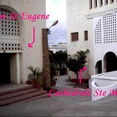
St. Mary's Cathedral, Oran
12 km
Mosquée du Bey Mohamed el-Kébir
10.9 km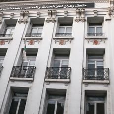
Museum of Modern Art of Oran
9.8 km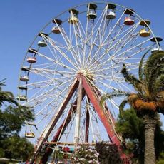
Parc d'attraction Djanat El Ahlam
12.1 km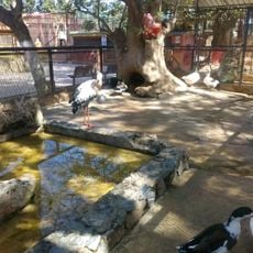
Zoo d'Oran
10.9 kmReviews
Visited this place? Tap the stars to rate it and share your experience / photos with the community! Try now! You can cancel it anytime.
Discover hidden gems everywhere you go!
From secret cafés to breathtaking viewpoints, skip the crowded tourist spots and find places that match your style. Our app makes it easy with voice search, smart filtering, route optimization, and insider tips from travelers worldwide. Download now for the complete mobile experience.

A unique approach to discovering new places❞
— Le Figaro
All the places worth exploring❞
— France Info
A tailor-made excursion in just a few clicks❞
— 20 Minutes