
Zermezzouk, mountain in Algeria
Location: Tamanrasset Province
GPS coordinates: 23.31522,5.62757
Latest update: April 10, 2025 15:55
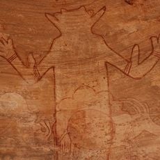
Séfar
436.7 km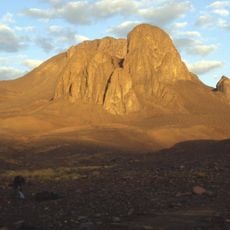
Mount Tahat
9.8 km
Tomb of Tin Hinan
91.6 km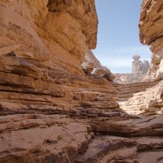
Tadrart Acacus
507.2 km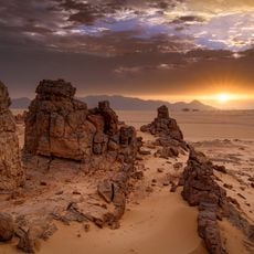
Tassili Cultural Park
390.2 km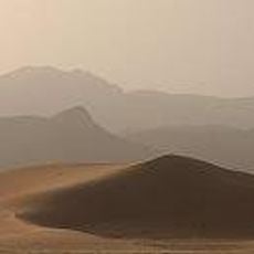
Aïr and Ténéré National Nature Reserve
606.7 km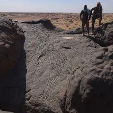
Dabous Giraffes
622.5 km
Ahaggar Cultural Park
61.6 km
Adrar Bous
480.2 km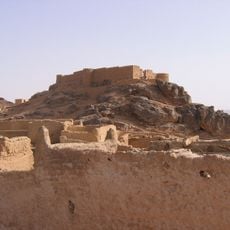
Fortress of Ghat
497.7 km
Taourirt ta-n-Afella
102.5 km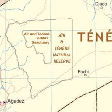
Aïr and Ténéré Addax Sanctuary
585.8 km
Arak gorges
286.2 km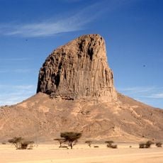
Iharen
50.6 km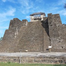
Castillo de Teayo
647 km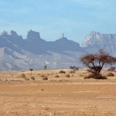
Idinen
516 km
Museo Casa de Carranza
698.9 km
Arakao
639 km
Témet
487 km
Takolokouzet
663.3 km
Museo de Linares A.C.
597.1 km
Centro de Convenciones Bicentenario
579.3 km
Museo De La Memoria Viva
671.6 km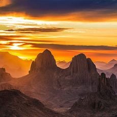
Assekrem
71.4 km
Plaza Principal
577 km
Tahalra Volcanic Field
96.4 km
World's Biggest Bike
700.9 km
Cascade de Timia
666.3 kmReviews
Visited this place? Tap the stars to rate it and share your experience / photos with the community! Try now! You can cancel it anytime.
Discover hidden gems everywhere you go!
From secret cafés to breathtaking viewpoints, skip the crowded tourist spots and find places that match your style. Our app makes it easy with voice search, smart filtering, route optimization, and insider tips from travelers worldwide. Download now for the complete mobile experience.

A unique approach to discovering new places❞
— Le Figaro
All the places worth exploring❞
— France Info
A tailor-made excursion in just a few clicks❞
— 20 Minutes