Zifta dam, dam in Gharbia Governorate, Egypt
Location: Gharbia Governorate
Elevation above the sea: 10 m
GPS coordinates: 30.74375,31.24058
Latest update: April 11, 2025 11:59
Pi-Ramesses
57.1 km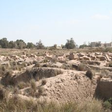
Bubastis
32.1 km
Sais
51.4 km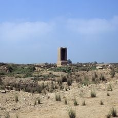
Mendes
35.5 km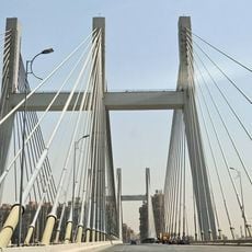
Rod El Farag Axis Bridge
71.4 km
Buto
69.1 km
Sadat Quraish Mosque
47.6 km
Dar ibn Luqman
36.1 km
Ahmad Al-Badawi Mosque
23.5 km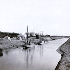
Ismailia Canal
71.1 km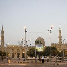
Ibrahim El-Desouki Mosque
71.1 km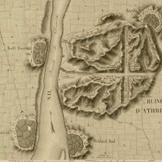
Athribis
31.3 km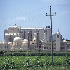
Deir el-Qadisa Damyana
62.9 km
Yamu
61.5 km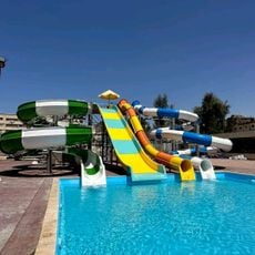
Aqua Park
69.4 km
برج الساعة (شركة مصر للغزل والنسيج)
25 km
Delta Barrage
63.4 km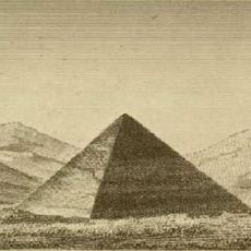
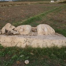
Pyramid of Athribis
31 km
El Mansoura Stadium
34.5 km
Zoo el-Zagazig
29.9 km
Zagazig Stadium
28.3 km
Geroland
67.4 km
EL-Safa Park
70 km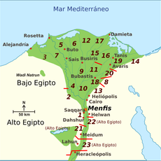
El Jatana
54.3 km
NRT V
64.8 km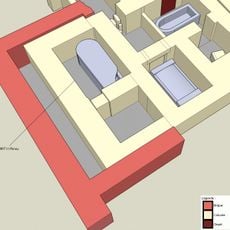
NRT II
64.8 km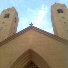
St. George’s Church in Tanta
24.6 km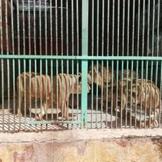
Kafr El-Sheikh zoo
49 kmReviews
Visited this place? Tap the stars to rate it and share your experience / photos with the community! Try now! You can cancel it anytime.
Discover hidden gems everywhere you go!
From secret cafés to breathtaking viewpoints, skip the crowded tourist spots and find places that match your style. Our app makes it easy with voice search, smart filtering, route optimization, and insider tips from travelers worldwide. Download now for the complete mobile experience.

A unique approach to discovering new places❞
— Le Figaro
All the places worth exploring❞
— France Info
A tailor-made excursion in just a few clicks❞
— 20 Minutes