Enable Location

We need your location to show you interesting places around you

Discover nearby places

Find interesting locations and hidden gems around you

Precise directions

Get accurate directions and distances to places

Your location is never shared with other users. It's only used when you tap the location button.

Baños de Montemayor

Log in to your account

Start exploring — it's free

Trusted by 64,028 travelers worldwide

Continue with Google
Continue with Apple
or

We will send you a code to connect

By continuing, you accept our Terms and Conditions and our Privacy Policy

Check your inbox

We've sent a pincode in your inbox. Please enter the code below.

Baños de Montemayor
Discussion Reviews 1 Photos
15.6k Popularity

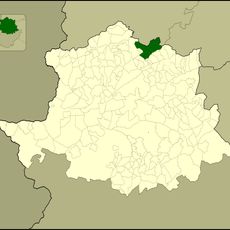
Baños de Montemayor, municipality in the province of Cáceres, Extremadura, Spain

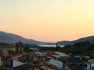
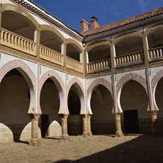
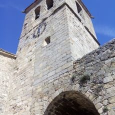
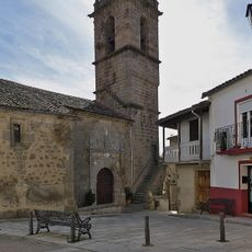
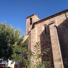
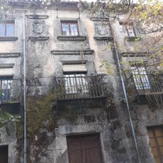
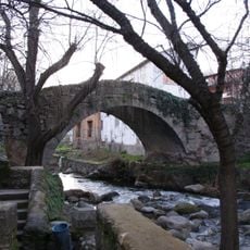
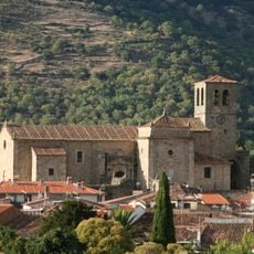
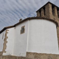
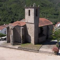
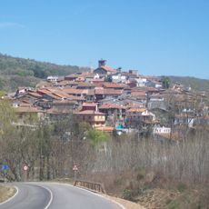
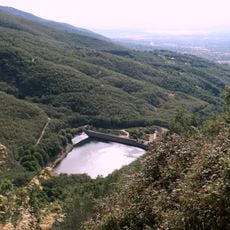
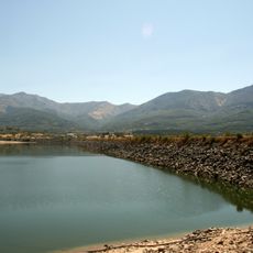
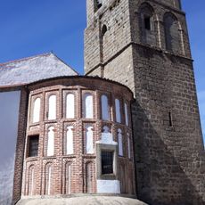
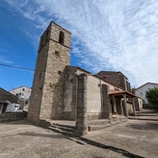
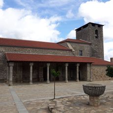
Baños de Montemayor is a small town in Cáceres Province situated in a valley called Ambroz. The town is divided by a river, with the Church of Santa María de la Asunción on one side and the Church of Santa Catalina on the other, while the center features a square called Pizarro and a neighborhood named El Castañar with traditional stone houses.

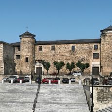
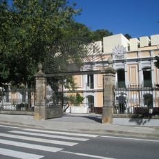
Roman travelers discovered the hot springs over 2000 years ago and built baths that still stand today. The town grew on both sides of the river over the centuries and was expanded in the late 1800s and early 1900s with new thermal facilities designed by known architects of that time.

The town's name comes from its natural hot springs that have drawn people for centuries. The two main churches and neighborhood of El Castañar reflect how the community organized itself over time, with local festivals and traditions centered around the thermal waters and the town's religious heritage.

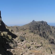
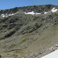
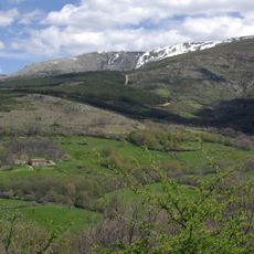
The best time to visit is spring or fall when the weather is mild and crowds are smaller. Narrow streets are best explored on foot, and waterfalls and natural pools nearby are easily reached for a peaceful walk through the surrounding landscape.

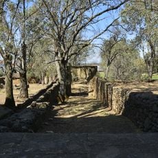
The ancient Roman road called Vía de la Plata once connected Mérida to Astorga and still passes through the town, with a small information center in a restored house explaining its history. A working old mill by the river shows how people powered machinery centuries ago.

The community of curious travelers

AroundUs brings together thousands of curated places, local tips, and hidden gems, enriched daily by 60,000 contributors worldwide.

Start exploring
Capital city
Baños de Montemayor
Elevation above the sea
700 m
Part of
Mancomunitat de Municipis «Depuradora de Baños», Mancomunidad para la Gestión Urbanística de los Municipios del Norte de Cáceres, Ambroz Valley
Shares border with
Aldeanueva del Camino, La Garganta, Hervás, Montemayor del Río, Peñacaballera, Puerto de Béjar, El Cerro
GPS coordinates
40.31833,-5.85722
Latest update
February 19, 2026 23:40
Reviews
Share your experience

No review yet

Discussions
Start a discussion...

No discussion yet

« Baños de Montemayor - municipality in the province of Cáceres, Extremadura, Spain » is provided by Around Us (aroundus.com). Images and texts are derived from Wikimedia project under a Creative Commons license. You are allowed to copy, distribute, and modify copies of this page, under the conditions set by the license, as long as this note is clearly visible.

Discover hidden gems everywhere you go!

From secret cafés to breathtaking viewpoints, skip the crowded tourist spots and find places that match your style. Our app makes it easy with voice search, smart filtering, route optimization, and insider tips from travelers worldwide. Download now for the complete mobile experience.

Around Us App Screenshot

A unique approach to discovering new places

Le Figaro

All the places worth exploring

France Info

A tailor-made excursion in just a few clicks

20 Minutes

Around Us
Travel Guide & Maps
Download

Send to your phone

QR Code
1

Open the camera app on your mobile.

2

Point at the QR code with your camera. A notification will appear.

3

Tap the notification to open the link.