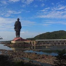
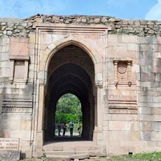
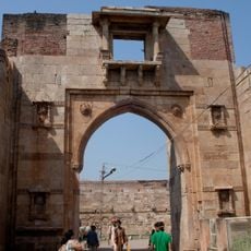
Alirajpur district, Administrative district in Malwa region, India
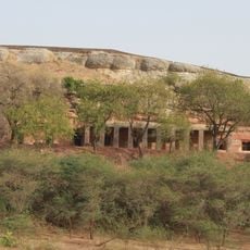
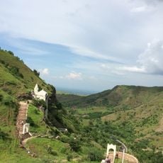
Alirajpur district is an administrative unit in the Malwa region of Madhya Pradesh, positioned between Gujarat and Maharashtra states. The area covers hilly terrain across roughly 3,180 square kilometers and is divided into five administrative blocks with more than 550 villages spread throughout.
The district was established as an independent administrative unit in 2008 after being separated from the former Jhabua district. This division allowed for better management and development of the hilly region with its many scattered settlements.
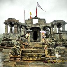
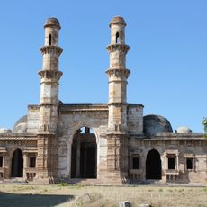
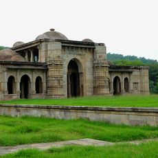
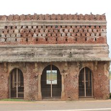
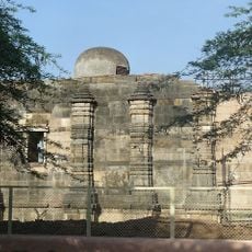
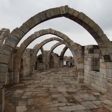
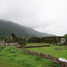
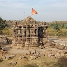
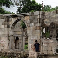
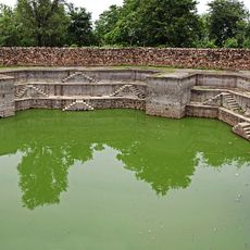
Indigenous communities form the heart of life here, with their traditions, crafts, and festivals shaping daily rhythms across the villages. The way people in smaller settlements maintain their ancestral practices creates a distinct character throughout the region.
The district is organized into five administrative blocks—Alirajpur, Jobat, Sondwa, Kattiwada, and Chandra Shekhra Aajad Nagar—each serving as a local hub. The hilly terrain with scattered villages means travel between destinations takes longer than in flatter areas.
The region maintains a notable gender ratio of around 1,010 females for every 1,000 males, which exceeds the national average. This balance is unusual in rural and hilly parts of India and reflects a relatively stable population structure.
The community of curious travelers
AroundUs brings together thousands of curated places, local tips, and hidden gems, enriched daily by 60,000 contributors worldwide.