
Strudelkopf, mountain in the Dolomites (Italy)
Location: Trentino-South Tyrol
Elevation above the sea: 2,307 m
GPS coordinates: 46.64450,12.21268
Latest update: April 30, 2025 09:17
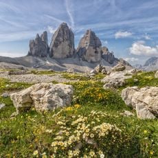
Tre Cime di Lavaredo
7.7 km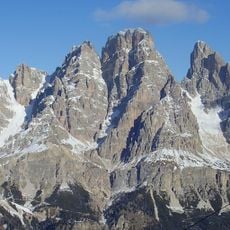
Monte Cristallo
7.7 km
Monte Piana
3.9 km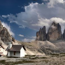
Antonio Locatelli Hut
7.5 km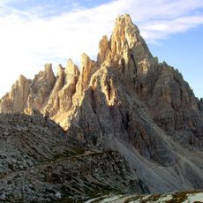
Paternkofel
8 km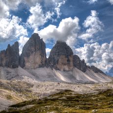
Parco naturale Dolomiti di Sesto
6.8 km
VF Ivano Dibona
7 km
Hohe Gaisl
5.4 km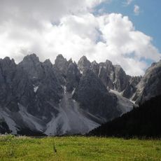
Haunold
7 km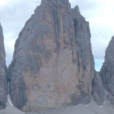
Große Zinne
7.4 km
Dürrenstein
3.7 km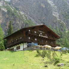
Dreischusterhütte
7.3 km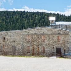
Fort Plätzwiese
1.4 km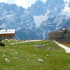
Dürrensteinhütte
1.3 km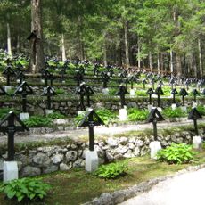
Austro-Hungarian military cemetery of Toblach
3.6 km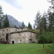
Fort Landro
1.6 km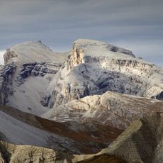
Croda dei Baranci
5.4 km
Sextenstein
7.3 km
Piz Popena
7.6 km
Sarlkofel
6.7 km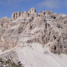
Cime Passaporto
8.2 km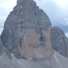
Western Zinne
7.1 km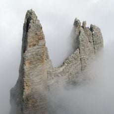
Kleine Zinne
7.7 km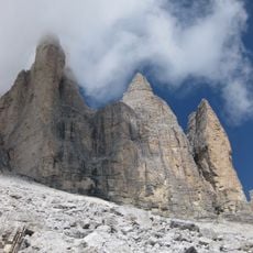
The Dolomites
5.2 km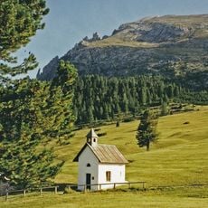
Kapelle auf der Plätzwiese
2.7 km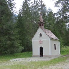
Kapelle in der Säge
7.9 km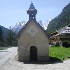
Chapel in Landro
1.5 km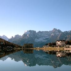
Lago di Misurina
7.7 kmReviews
Visited this place? Tap the stars to rate it and share your experience / photos with the community! Try now! You can cancel it anytime.
Discover hidden gems everywhere you go!
From secret cafés to breathtaking viewpoints, skip the crowded tourist spots and find places that match your style. Our app makes it easy with voice search, smart filtering, route optimization, and insider tips from travelers worldwide. Download now for the complete mobile experience.

A unique approach to discovering new places❞
— Le Figaro
All the places worth exploring❞
— France Info
A tailor-made excursion in just a few clicks❞
— 20 Minutes