Trentino-South Tyrol, Autonomous region in northern Italy.
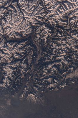
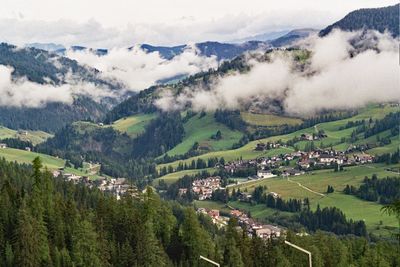
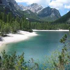
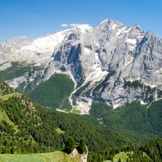
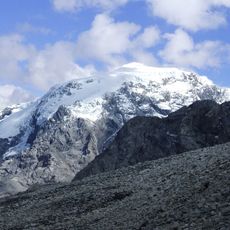
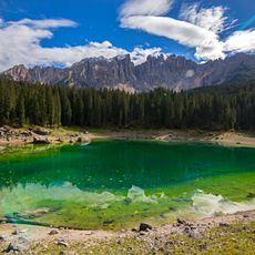
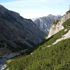
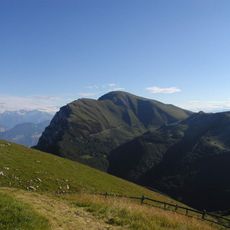
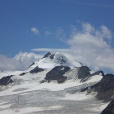
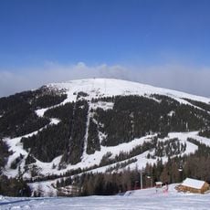
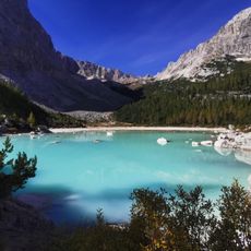
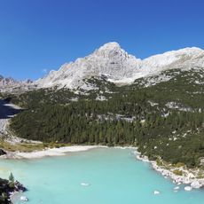
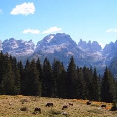
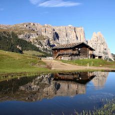
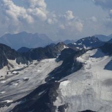
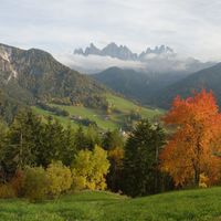
Trentino-South Tyrol is an autonomous region in northern Italy covering over 13,600 square kilometers (5,250 square miles) of mountain terrain, including the Dolomites and southern Alps, with valleys that support agriculture and winter sports. The region divides into two separate provinces with distinct administrations, where eastern areas show jagged limestone peaks and western valleys display gentler slopes with orchards and vineyards.
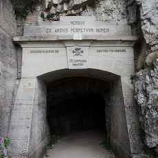
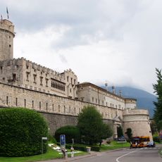
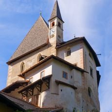
The territory belonged to the Holy Roman Empire from the 9th century before becoming part of the Austrian Empire and passing to Italy in 1919 after World War One. Autonomy was granted in 1972 to recognize linguistic and cultural differences within the two provinces and reduce tensions following decades of Italianization policies.
Three languages shape daily life here: German fills markets and shops across South Tyrol, Italian sounds through Trentino, and Ladin survives in mountain valleys. Street signs appear in two or three scripts, menus shift with each valley, and local festivals celebrate this diversity through songs and announcements.
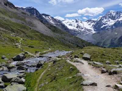
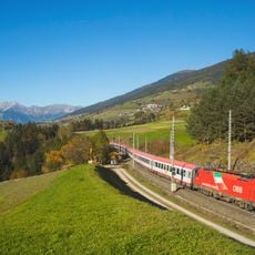
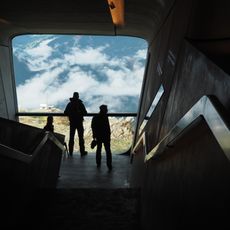
The area is accessible year-round, with winter drawing skiers to resorts at higher elevations and summer opening hiking trails and cycling routes through valleys and over passes. Public transport connects larger towns, but more remote mountain communities often require a car or local buses with limited schedules.
Each of the two provinces keeps 90 percent of locally collected taxes for self-governance, making this region one of the wealthiest in Italy. This financial independence funds dense networks of buses and trains, well-maintained roads, and extensive social services that are rarer in other Italian regions.
The community of curious travelers
AroundUs brings together thousands of curated places, local tips, and hidden gems, enriched daily by 60,000 contributors worldwide.