Enable Location

We need your location to show you interesting places around you

Discover nearby places

Find interesting locations and hidden gems around you

Precise directions

Get accurate directions and distances to places

Your location is never shared with other users. It's only used when you tap the location button.

Japan National Route 292

Log in to your account

Start exploring — it's free

Trusted by 63,116 travelers worldwide

Continue with Google
Continue with Apple
or

We will send you a code to connect

By continuing, you accept our Terms and Conditions and our Privacy Policy

Check your inbox

We've sent a pincode in your inbox. Please enter the code below.

Japan National Route 292
Discussion Reviews 1 Photos
29.1k Popularity

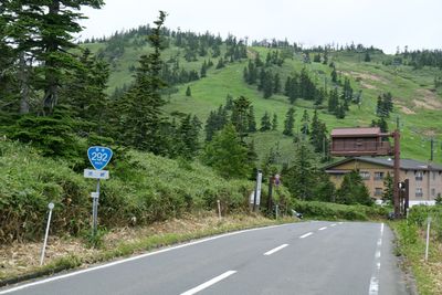
Japan National Route 292, Mountain road between Gunma and Niigata Prefectures, Japan

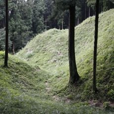
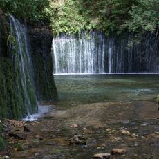
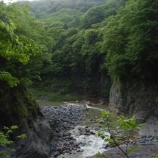
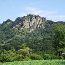
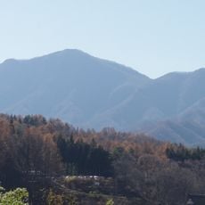
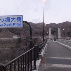
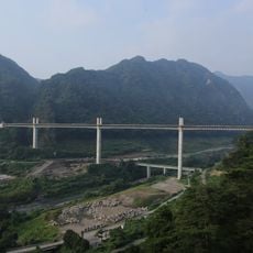
Japan National Route 292 is a mountain road stretching over 100 kilometers from Naganohara in Gunma Prefecture to Myoko in Niigata Prefecture. The road runs through different forests and elevations, passing mountains, ponds, and marshland areas along the way.

The road was established as a national route in 1970 and created a crucial connection between the mountain areas of Gunma and the lower-lying regions of Niigata. Since its opening, it has become an important transport link for these remote areas.

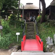
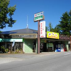
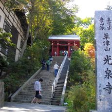
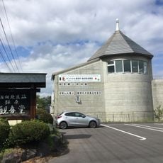
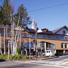
The road passes by several Japanese roadside stations where visitors can see local crafts and regional food. These stops reflect how mountain communities have organized their daily life and commerce in this challenging terrain.

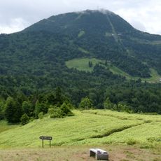
The road reaches elevations around 2,172 meters (7,126 feet) and closes during winter months due to snow. Drivers should check weather conditions beforehand and expect winding sections that require careful attention.

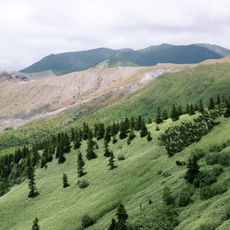
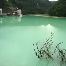
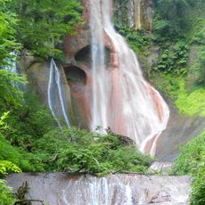
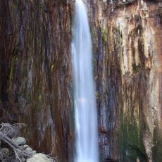
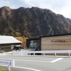
This road holds the title of Japan's highest national route and lets visitors drive through elevated mountain landscapes where few people live. From this road, travelers can reach Ichinuma Pond and Tanohara Marshland, two natural areas at high altitude.

The community of curious travelers

AroundUs brings together thousands of curated places, local tips, and hidden gems, enriched daily by 60,000 contributors worldwide.

Start exploring
Location
GPS coordinates
36.54827,138.64550
Latest update
December 20, 2025 11:50
Reviews
Share your experience

No review yet

Discussions
Start a discussion...

No discussion yet

« Japan National Route 292 - Mountain road between Gunma and Niigata Prefectures, Japan » is provided by Around Us (aroundus.com). Images and texts are derived from Wikimedia project under a Creative Commons license. You are allowed to copy, distribute, and modify copies of this page, under the conditions set by the license, as long as this note is clearly visible.

Discover hidden gems everywhere you go!

From secret cafés to breathtaking viewpoints, skip the crowded tourist spots and find places that match your style. Our app makes it easy with voice search, smart filtering, route optimization, and insider tips from travelers worldwide. Download now for the complete mobile experience.

Around Us App Screenshot

A unique approach to discovering new places

Le Figaro

All the places worth exploring

France Info

A tailor-made excursion in just a few clicks

20 Minutes

Around Us
Travel Guide & Maps
Download

Send to your phone

QR Code
1

Open the camera app on your mobile.

2

Point at the QR code with your camera. A notification will appear.

3

Tap the notification to open the link.