Osyoji-cho, Japonya'da kasaba (chōchō)
The community of curious travelers
AroundUs brings together thousands of curated places, local tips, and hidden gems, enriched daily by 60,000 contributors worldwide.
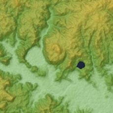
Location
Shares border with
Goryōshita-chō, 国分寺町, Harada-cho, Higashiosyoji-cho, Hirasa, Yokobaba-cho, Shirawa-cho, 向田本町, Higashikaimon-cho, 大王町, Wakaba-cho
GPS coordinates
31.82258,130.30253
Latest update
April 1, 2025 22:00