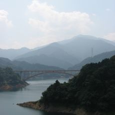
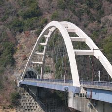
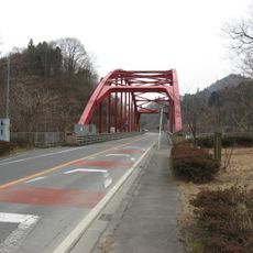
塩水橋, Transportation bridge in Kanagawa, Japan
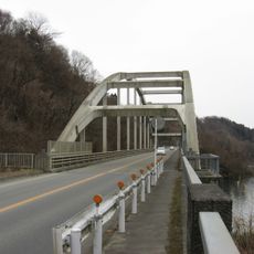
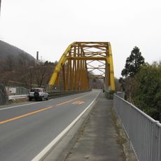
Shiomizu Bridge is a crossing structure in Kanagawa that carries both vehicle and foot traffic over a waterway. The bridge features distinct lanes for cars and pedestrians, serving as a practical link between the surrounding neighborhoods.
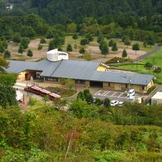
The bridge was built to improve transportation connections across the waterway in the Kanagawa region. Since its construction, it has been an essential part of the local infrastructure network.
Local residents gather at Shiomizu Bridge during seasonal festivals and community events, making it a central point for social interactions.
The bridge has marked pathways for pedestrians and designated lanes for vehicles, with parking available nearby. It is best crossed outside rush hours when traffic flows more smoothly.
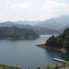
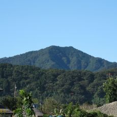
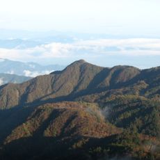
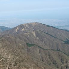
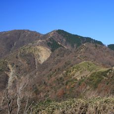
The name Shiomizu means salt water and reflects the geographic character of the area where the bridge stands. This naming points to the bridge's location near tidal zones and the marine environment of the region.
The community of curious travelers
AroundUs brings together thousands of curated places, local tips, and hidden gems, enriched daily by 60,000 contributors worldwide.