Arimine Prefectural Natural Park, Prefectural nature park in Toyama, Japan
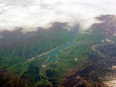
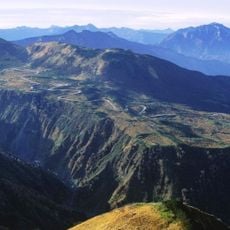
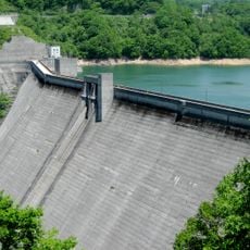
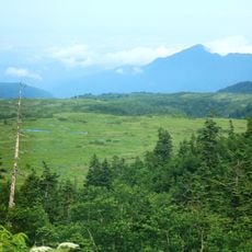
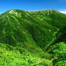
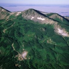
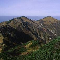
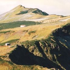
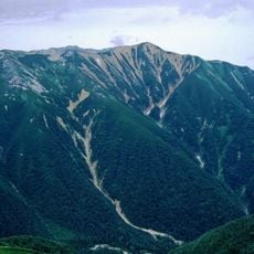
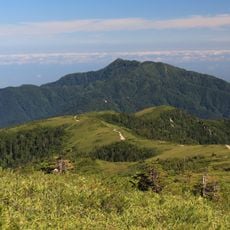
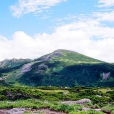
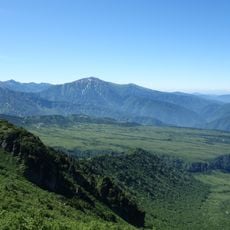
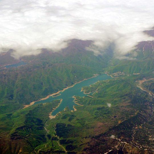
Arimine Prefectural Natural Park covers 11,600 hectares southeast of Toyama city, centred on Lake Arimine below Mount Yakushi in the Northern Alps. Its highest point reaches 2,090 m, and the park also takes in the Kuwazakiyama area and the shores of Lake Sukenobe. The lake's branched arms fill a valley ringed by forested slopes.
Arimine Prefectural Natural Park was designated on 13 March 1973, covering 11,600 hectares southeast of Toyama city, next to Chubu-Sangaku National Park. Its core is Lake Arimine below Mount Yakushi in the Northern Alps, together with the Kuwazakiyama area and the shores of Lake Sukenobe; the highest point reaches 2,090 m.
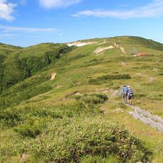
Local visitors come to the park for seasonal nature walks and forest observation, practices that connect them with the natural rhythms of the landscape. These activities remain part of everyday life for people in nearby communities.
The park has marked hiking trails at different difficulty levels and signed viewpoints with rest areas for breaks. Regular bus connections link the park to central Toyama, making visits straightforward.
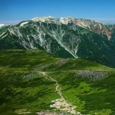
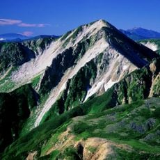
The park's highest point is Mount Kuwazaki (2,090 m), nicknamed the Matterhorn of Toyama for its pointed profile; the summit opens a 360-degree view. In the middle course of the Higashisaka-mori valley, sandstone outcrops of the Tetori Group hold ammonite fossils, some of the best-preserved found in Toyama Prefecture.
The community of curious travelers
AroundUs brings together thousands of curated places, local tips, and hidden gems, enriched daily by 94,733 contributors worldwide.