Enable Location

We need your location to show you interesting places around you

Discover nearby places

Find interesting locations and hidden gems around you

Precise directions

Get accurate directions and distances to places

Your location is never shared with other users. It's only used when you tap the location button.

Eboshi-dake

Log in to your account

Start exploring — it's free

Trusted by 63,116 travelers worldwide

Continue with Google
Continue with Apple
or

We will send you a code to connect

By continuing, you accept our Terms and Conditions and our Privacy Policy

Check your inbox

We've sent a pincode in your inbox. Please enter the code below.

Eboshi-dake
Discussion Reviews 1 Photos
4.7k Popularity

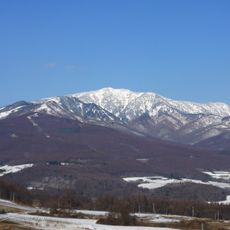
Eboshi-dake, Volcanic summit near Tomi and Ueda, Japan.

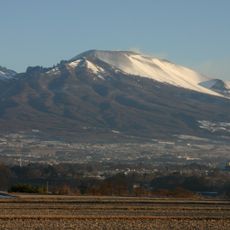
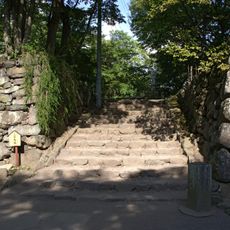
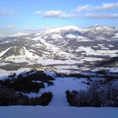
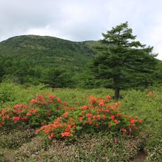
Eboshi-dake is a volcanic summit located between Tomi and Ueda in Nagano Prefecture, rising to approximately 2066 meters. Multiple hiking trails cross varied terrain, moving from forested slopes at lower elevations to rockier sections as the path climbs higher.

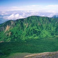
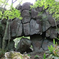
The mountain formed through volcanic activity millions of years ago, shaping the geological landscape of Nagano Prefecture. This formation remains part of the broader tectonic history that created the Japanese Alps in this region.

The mountain's name comes from its resemblance to the traditional Japanese Eboshi headwear once worn by court nobles during the Heian period. This connection between the peak's shape and historical fashion shows how people named places based on what they saw in everyday life.

The hiking trails are accessible throughout the year, though winter months require extra equipment and caution due to snow and ice on the slopes. Visitors should prepare for changing weather and bring properly equipped footwear for all seasons.

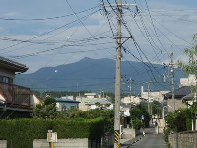
The summit offers views of multiple geological formations across the region, revealing the varied landscape of this mountain range. On clear days, visitors can see the contrasts between different rock types and vegetation zones that develop at various elevations.

The community of curious travelers

AroundUs brings together thousands of curated places, local tips, and hidden gems, enriched daily by 60,000 contributors worldwide.

Start exploring
Location
Location
Elevation above the sea
2,066 m
GPS coordinates
36.43336,138.38714
Latest update
December 10, 2025 20:06
Reviews
Share your experience

No review yet

Discussions
Start a discussion...

No discussion yet

« Eboshi-dake - Volcanic summit near Tomi and Ueda, Japan » is provided by Around Us (aroundus.com). Images and texts are derived from Wikimedia project under a Creative Commons license. You are allowed to copy, distribute, and modify copies of this page, under the conditions set by the license, as long as this note is clearly visible.

Discover hidden gems everywhere you go!

From secret cafés to breathtaking viewpoints, skip the crowded tourist spots and find places that match your style. Our app makes it easy with voice search, smart filtering, route optimization, and insider tips from travelers worldwide. Download now for the complete mobile experience.

Around Us App Screenshot

A unique approach to discovering new places

Le Figaro

All the places worth exploring

France Info

A tailor-made excursion in just a few clicks

20 Minutes

Around Us
Travel Guide & Maps
Download

Send to your phone

QR Code
1

Open the camera app on your mobile.

2

Point at the QR code with your camera. A notification will appear.

3

Tap the notification to open the link.