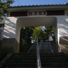
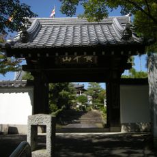
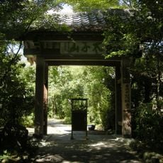
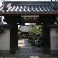
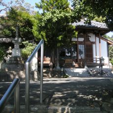
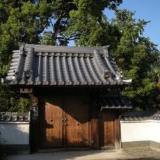
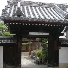
西国街道芥川一里塚, Historic distance marker in Takatsuki, Japan.
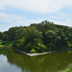
The Akutagawa Ichirizuka is a distance marker along the Seigoku Kaido road consisting of earthen mounds positioned at regular intervals during the Edo period. These mounds helped travelers measure their progress as they moved through the region on foot or horseback.
The site was established in 1604 under orders from Tokugawa Ieyasu as part of a network connecting Kyoto and Nishinomiya. Its creation reflected the shogunate's interest in standardizing travel routes and monitoring movement across controlled territories.
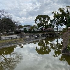
The site reflects how travelers once relied on planted elm trees atop earthen mounds to find their way through unfamiliar territory. This practice shows how communities shaped the landscape itself to serve the needs of moving people.
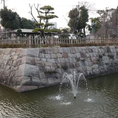
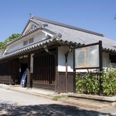
The site is located in Akutagawa-cho 3-chome and accessible through walking paths that trace the historical route. Visitors should expect uneven ground and wear appropriate footwear since the area retains its outdoor, rural character.
Few of these distance markers remain standing in the Osaka region, making this site a rare survivor from the Edo period road network. Its preservation allows visitors to encounter infrastructure that has scarcely changed since travelers first passed this way.
The community of curious travelers
AroundUs brings together thousands of curated places, local tips, and hidden gems, enriched daily by 60,000 contributors worldwide.