
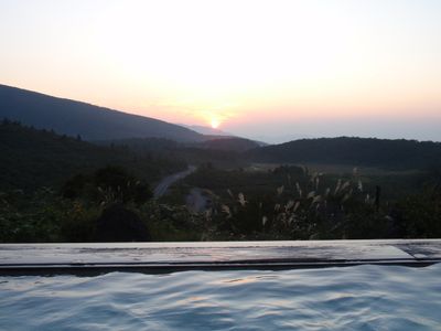
須川温泉, building in Akita Prefecture, Japan
Location: Tōhoku region
Location: Akita Prefecture
Location: Ogachi district
Location: Higashinaruse
GPS coordinates: 38.97928,140.76979
Latest update: March 13, 2025 11:37

Chūson-ji
28.7 km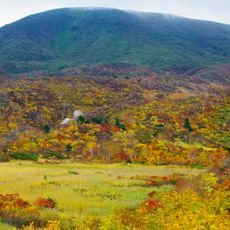
Mount Kurikoma
2.6 km
Takadachi Gikeidō
29.8 km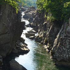
Genbikei
24.2 km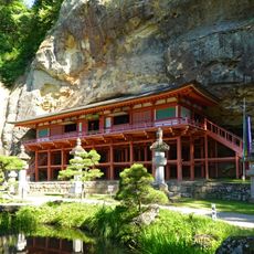
Takkoku-no-Iwaya
24.8 km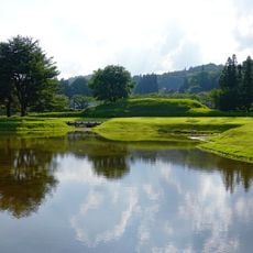
Muryōkō-in Ato
29.7 km
細倉マインパーク
22 km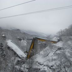
祭畤大橋
10.2 km
Kinkeizan
29.4 km
Kawarage Jigoku
14.7 km
Onikōbe Caldera
17.8 km
Kanjizaiō-in
29.5 km
Honederamura Shōen
15.9 km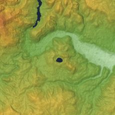
Naruko
27.6 km
Unsai-ji
27.7 km
Chōjagahara temple ruins
28.5 km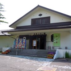
Japan Kokeshi Museum
27.8 km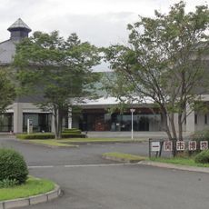
Ichinoseki City Museum
24.7 km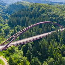
Uchu Bridge
13.2 km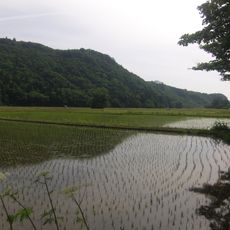
Farm Village of Hondera area, Ichinoseki
15.9 km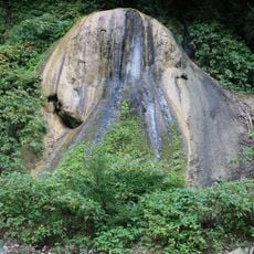
Geto Onsen no Sekkaika
27.4 km
香積寺
23.5 km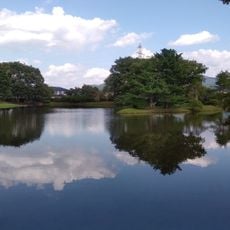
Hiraizumi
29.6 km
Mogami Shirakawa Sabo Dam
28.6 km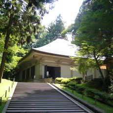
Chūson-ji Konjikidō
28.7 km
鮞状珪石および噴泉塔
18.8 km
Naruko Park
27.7 km
Chūson-ji Daichōju-in
28.7 kmReviews
Visited this place? Tap the stars to rate it and share your experience / photos with the community! Try now! You can cancel it anytime.
Discover hidden gems everywhere you go!
From secret cafés to breathtaking viewpoints, skip the crowded tourist spots and find places that match your style. Our app makes it easy with voice search, smart filtering, route optimization, and insider tips from travelers worldwide. Download now for the complete mobile experience.

A unique approach to discovering new places❞
— Le Figaro
All the places worth exploring❞
— France Info
A tailor-made excursion in just a few clicks❞
— 20 Minutes