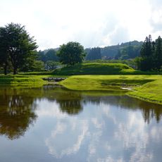
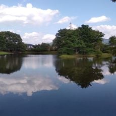
Mount Kurikoma, Active stratovolcano in Tohoku region, Japan.
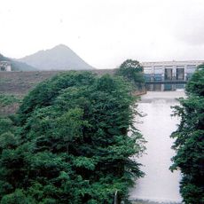
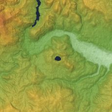
Mount Kurikoma rises to 1,628 meters (5,341 feet) and spans three prefectures - Miyagi, Iwate, and Akita - where it forms a natural boundary between these administrative regions. Its shape is defined by a 4-kilometer-wide (2.5 mile) caldera with the Tsurugi-dake cone located in the northern section.
The volcano began forming approximately 500,000 years ago through andesitic and dacitic eruptions that shaped the landscape. Recorded volcanic activities date back to the year 915.
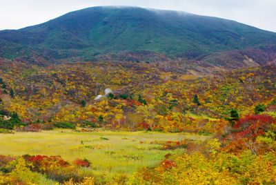
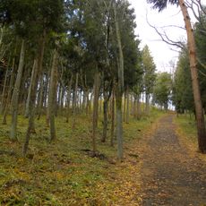
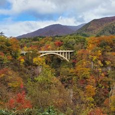
The mountain holds a special place in Japan's One Hundred Famous Mountains of Flowers list, displaying numerous alpine flower species during summer months. Hikers experience a remarkable variety of blooms across the slopes that transforms the peak into a colorful landscape.
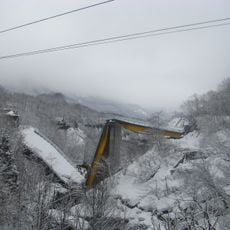
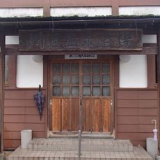
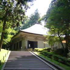
Nine well-marked hiking trails of varying difficulty begin from different starting points around the mountain base and lead to the Kurikoma Rest House. Depending on your chosen route and fitness level, allow different timeframes for the climb.
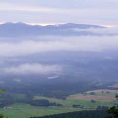
The mountain features a remarkable northeastern orientation of its caldera opening that creates a rare geological view from certain angles. This distinctive feature often goes unnoticed by hikers focused primarily on reaching the summit.
The community of curious travelers
AroundUs brings together thousands of curated places, local tips, and hidden gems, enriched daily by 60,000 contributors worldwide.