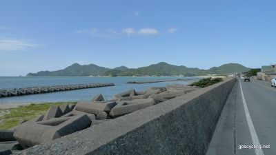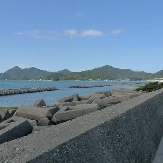
Ōmijima, Protected coastal island and geological park in Nagato, Japan
Ōmijima is an island in Nagato, Yamaguchi Prefecture, with an area of 14 km² and a coastline of about 40 km. Its north coast, eroded by the Sea of Japan, holds rock formations known as the "Alps of the Sea"; the island's highest point is Mount Takayama at 319.9 m. The south is linked to the mainland by the 1965 Ōmi Bridge, and a lagoon, Ōmiko, lies in the southwest behind the sandbar Nami no Hashidate.
The island's north coast was designated a Place of Scenic Beauty and Natural Monument in 1926, not 1927. In 1927 it was chosen for the Japan Hundred Views list compiled by the Osaka Mainichi and Tokyo Nichinichi newspapers. In 1955 the coast was included in the newly created Kita-Nagato Kaigan Quasi-National Park. The eastern Tōri district was a separate village from 1899 to 1954, when it merged into Nagato.
The eastern Tsu district was a base for coastal whaling from the 16th century until the early Meiji era; fishermen drove whales into the bay and leapt onto them with harpoons. At Kōgan-ji stands a whale grave (kujira-baka) built in 1692, a national historic site where about 70 whale fetuses are buried and a memorial rite is held each year. The Tsu kujira-bushi whaling song is still sung, and the Kujira Shiryōkan near the temple displays the trade's history.
The island is best viewed from the water, with boat tours available from the nearby shore. Visitors should prepare for changing coastal weather conditions, especially if planning to photograph from the water or from the shoreline.
The nickname "Alps of the Sea" refers to the 16 km of eroded rock along the north coast, where outcrops rise from the water. The island's highest point, Mount Takayama at 319.9 m, stands in the northeast. From the beach at Funakoshi, radio signals from China and South Korea can be picked up.
The community of curious travelers
AroundUs brings together thousands of curated places, local tips, and hidden gems, enriched daily by 94,370 contributors worldwide.