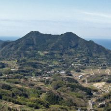
Underwater Shrine, Shinto shrine in Japan
The Underwater Shrine is a small shrine located beneath the water near Tateyama, with a large torii gate approximately 18 meters deep and the shrine structure itself at about 12 meters below the surface. It sits within the Hasama Underwater Park, roughly 600 meters from the shore, and is surrounded by marine life including fish and other sea creatures.
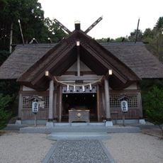
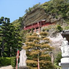
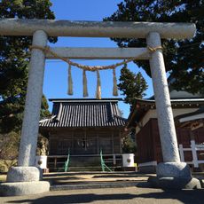
The shrine was established in 1997 as a branch of Susaki Jinja, an older sanctuary founded in 807. This underwater shrine is the only one of its kind in Japan and was built with the hope of preventing accidents and damage at sea.
The shrine is visited by both fishermen and divers who pray for safety at sea and good fortune. The sacred rope called shimenawa is made from plastic and replaced yearly by divers to maintain the spiritual connection between land and water.
You need diving equipment to visit the shrine since it is completely submerged and inaccessible without scuba gear. The best visit depends on weather conditions and underwater visibility, so going with an experienced dive operator makes the experience safer and more enjoyable.
A large Asian sheepshead wrasse named Yoriko has lived near the shrine for over 25 years and changed from female to male during its life. The fish swims up to divers, recognizes them, and shows trust through gentle interactions, making it a beloved symbol of the place.
The community of curious travelers
AroundUs brings together thousands of curated places, local tips, and hidden gems, enriched daily by 60,000 contributors worldwide.