和賀神社, Shinto shrine in Japan
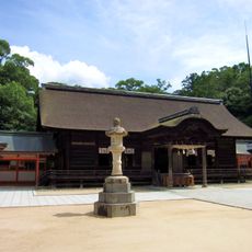
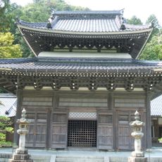
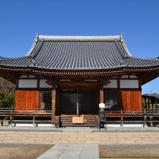
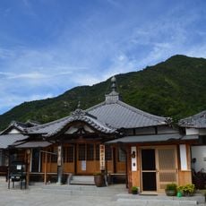
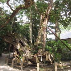
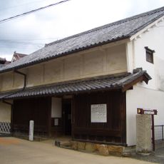
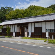
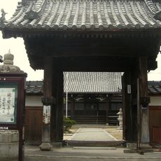
Waga Shrine is a Shinto shrine in Takehara, Hiroshima, featuring a main prayer hall and a performance stage set on quiet grounds surrounded by trees near a river. The wooden buildings show their age through weathered materials, creating a modest and simple setting for visitors to observe.
The shrine was built in 1597 to honor the local leader Takakage Kobayakawa after his death, and was moved to its current riverside location in 1889 for protection from flooding. This relocation reflected the community's commitment to preserving this sacred place.
The shrine honors Takakage Kobayakawa, a local leader from centuries ago whose memory remains central to the community's identity. Visitors can observe how locals maintain traditions and gather here during festivals to keep these customs alive.
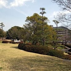
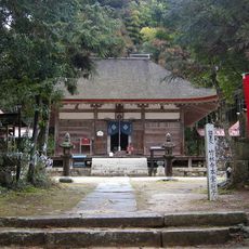
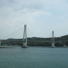
The shrine sits near a main road and river, making it accessible by public transport with a short walk from town center to reach it. The quiet woodland setting offers a peaceful space to visit, though wearing comfortable shoes is recommended as the paths show their age and can be uneven.
The shrine was relocated in 1889 through community efforts that included seeking support from powerful families like the Mouri clan to fund its reconstruction. This collective determination shows how locals worked together to revive a place that had fallen into disrepair during the Meiji era.
The community of curious travelers
AroundUs brings together thousands of curated places, local tips, and hidden gems, enriched daily by 60,000 contributors worldwide.