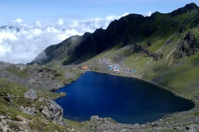
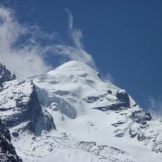
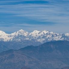
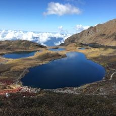
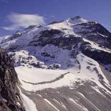
Gosaikunda, Sacred lakes at 4380 meters in Langtang National Park, Nepal.
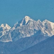
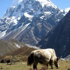
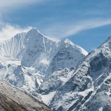
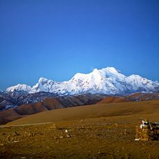
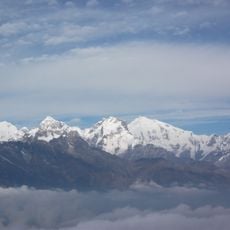
Gosaikunda is a system of alpine lakes in central Nepal near 4380 meters elevation, created by glacial meltwater flowing from surrounding peaks. The lakes sit in a high-altitude basin surrounded by rocky ridges and grassland areas typical of the Langtang region.
The area became internationally recognized in 2007 when designated as a Ramsar site for wetland conservation. This status acknowledged the ecological importance of the lake system for protecting natural habitats.
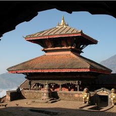
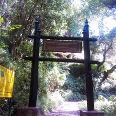
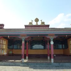
Local guides and pilgrims view the lakes as sacred ground where spiritual rituals and ceremonies take place throughout the year. The site draws visitors seeking both physical challenge and spiritual connection to the Hindu traditions tied to this mountain landscape.
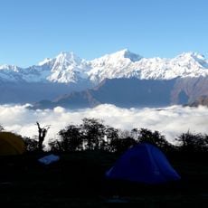
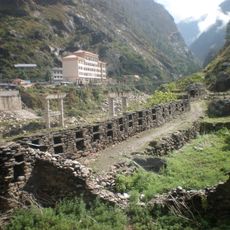
Trekkers can reach the site from several starting points using established hiking routes with lodges along the way for overnight stays. The dry season offers the most reliable conditions for trekking and camping in this high-altitude region.
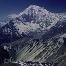
The lakes freeze solid from October through June, transforming the landscape into a white expanse beneath the surrounding ridges. Few visitors experience this frozen state, as most treks occur during warmer months when water is visible.
Inception: 2007
Elevation above the sea: 4,380 m
GPS coordinates: 28.08275,85.41361
Latest update: December 6, 2025 19:02
Nepal offers photographers an exceptional range of subjects, from the highest mountains on Earth to centuries-old religious sites. The Himalayan range dominates the northern regions, where trekkers head to Everest Base Camp and Annapurna Base Camp. At middle elevations, traditional mountain villages...
Boudhanath
40.5 km
Budhanilkantha Temple
34.3 km
Langtang National Park
17 km
Changu Narayan Temple
40.8 km
The Taragaon Museum
40.7 km
Gokarneshwor Mahadev temple
38.3 km
Bajrayogini Temple
38 km
Ka-Nying Shedrub Ling
40.2 km
Baden-Powell Peak
15.1 km
Amitabha Monastery
38 km
Suryachaur
30.6 km
Nuwakot Palace
30.9 km
Dragmarpo Ri
36.4 km
Salasungo
40.3 km
Bhairabi Temple
31 km
Loenpo Gang
40 km
Kimshung
25.1 km
Langshisa Ri
33.1 km
Gangchempo
27.7 km
Gurkarpo Ri
38.1 km
Lapsang Karpo
37 km
Shivapuri Nagarjun National Park
32.1 km
Panch Pokhari
30 km
Kopan Monastery
38.2 km
Rasuwa Fort
22 km
Yala Peak
27.1 km
Bhairav Ṭākurā
40.9 km
Kyuṅgāri̇̄
34.5 kmVisited this place? Tap the stars to rate it and share your experience / photos with the community! Try now! You can cancel it anytime.
Discover hidden gems everywhere you go!
From secret cafés to breathtaking viewpoints, skip the crowded tourist spots and find places that match your style. Our app makes it easy with voice search, smart filtering, route optimization, and insider tips from travelers worldwide. Download now for the complete mobile experience.
A unique approach to discovering new places❞
— Le Figaro
All the places worth exploring❞
— France Info
A tailor-made excursion in just a few clicks❞
— 20 Minutes