Enable Location

We need your location to show you interesting places around you

Discover nearby places

Find interesting locations and hidden gems around you

Precise directions

Get accurate directions and distances to places

Your location is never shared with other users. It's only used when you tap the location button.

Gulf of Ob

Log in to your account

Start exploring — it's free

Trusted by 67,571 travelers worldwide

Continue with Google
Continue with Apple
or

We will send you a code to connect

By continuing, you accept our Terms and Conditions and our Privacy Policy

Check your inbox

We've sent a pincode in your inbox. Please enter the code below.

Gulf of Ob
Discussion Reviews 1 Photos
39.2k Popularity

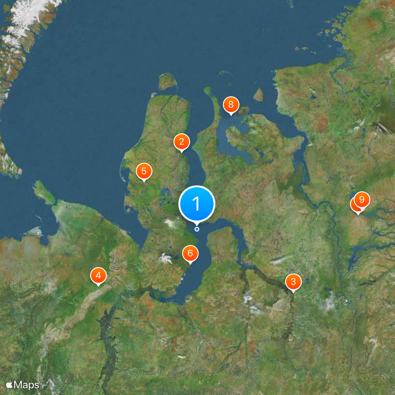
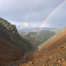
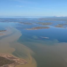
Gulf of Ob, Arctic bay in Yamalo-Nenets Autonomous Okrug, Russia.

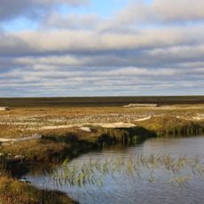
The Gulf of Ob stretches 800 kilometers northward between the Yamal and Gyda peninsulas, connecting the Ob River to the Kara Sea. The waters are shallow, averaging 10 to 12 meters deep, which limits passage for large vessels.

This waterway has served as a crucial maritime passage since ancient times, linking Siberian inland regions with Arctic Ocean routes. Its role connecting river to sea has remained central to regional transportation for thousands of years.

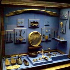
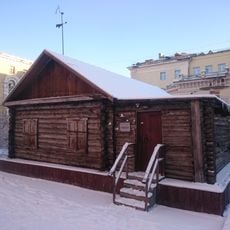
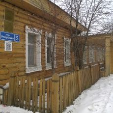
Indigenous peoples of the region have fished these waters for generations, and their traditional practices remain central to daily life and seasonal routines. The gulf continues to shape how local communities live and move throughout the year.

Access to the gulf varies greatly with seasons, as winter ice makes travel difficult while summer offers better navigation conditions. Anyone planning to travel here should be aware that specialized equipment and local expertise are essential for safe passage.

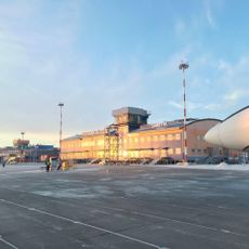
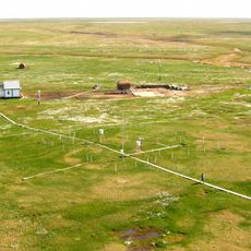
Vast natural gas reserves lie beneath the gulf floor and are extracted through specialized terminals built to operate under thick winter ice. This infrastructure represents an unusual adaptation to one of the world's harshest marine environments.

The community of curious travelers

AroundUs brings together thousands of curated places, local tips, and hidden gems, enriched daily by 60,000 contributors worldwide.

Start exploring
Part of
Kara Sea
GPS coordinates
68.83285,73.49202
Latest update
December 17, 2025 09:14
Around this place
Sabetta
Russian Federation

Sabetta

274.2 km
Mangazeya
Russian Federation

Mangazeya

438.9 km
Polar Ural
Russian Federation

Polar Ural

432.4 km
Obskaya–Bovanenkovo Line
Russian Federation

Obskaya–Bovanenkovo Line

253.8 km
Новопортовский мерзлотник
Russian Federation

Новопортовский мерзлотник

129.3 km
Nord Kamal Mosque
Russian Federation

Nord Kamal Mosque

585.8 km
Zapovednik Gydansky
Russian Federation

Zapovednik Gydansky

403.1 km
Krasnye Kamny
Russian Federation

Krasnye Kamny

598.5 km
First house Norilsk
Russian Federation

First house Norilsk

586 km
Russian Federation

Музей Сталина (Курейка)

630.7 km
Permafrost Museum
Russian Federation

Permafrost Museum

563.2 km
Dvorets Kultury Shakterov
Russian Federation

Dvorets Kultury Shakterov

417.9 km
Peter and Paul Church
Russian Federation

Peter and Paul Church

388.4 km
Харнаурды-Кеу
Russian Federation

Харнаурды-Кеу

340.1 km
Khantayka Reservoir
Russian Federation

Khantayka Reservoir

588.2 km
Popow-Station
Russian Federation

Popow-Station

515.7 km
Здание инородческих управ, в котором была провозглашена советская власть в Обдорске (Салехард)
Russian Federation

Здание инородческих управ, в котором была провозглашена советская власть в Обдорске (Салехард)

388.5 km
Торговый дом купца И.Н. Корнилова (Салехард)
Russian Federation

Торговый дом купца И.Н. Корнилова (Салехард)

388.4 km
Polar circle monument
Russian Federation

Polar circle monument

385.2 km
Здание начальной школы 501-й стройки (Салехард)
Russian Federation

Здание начальной школы 501-й стройки (Салехард)

386.1 km
Здание театра 501-й стройки (Салехард)
Russian Federation

Здание театра 501-й стройки (Салехард)

386.5 km
Obdorsky ostrog
Russian Federation

Obdorsky ostrog

388.6 km
Obdorskoye Cemetery
Russian Federation

Obdorskoye Cemetery

386.8 km
Фрагмент застройки (2 объекта) (Салехард)
Russian Federation

Фрагмент застройки (2 объекта) (Салехард)

386.2 km
Дом купца И.А. Рочева-Моторова (Салехард)
Russian Federation

Дом купца И.А. Рочева-Моторова (Салехард)

388.2 km
Обдорское кладбище (Салехард)
Russian Federation

Обдорское кладбище (Салехард)

386.7 km
Matveev Island Lighthouse
Russian Federation

Matveev Island Lighthouse

594.9 km
Orthodox cathedral of the Iveron Icon of Our Lady in Vorkuta
Russian Federation

Orthodox cathedral of the Iveron Icon of Our Lady in Vorkuta

416.2 km
Show the full map
Reviews
Share your experience

No review yet

Discussions
Start a discussion...

No discussion yet

« Gulf of Ob - Arctic bay in Yamalo-Nenets Autonomous Okrug, Russia » is provided by Around Us (aroundus.com). Images and texts are derived from Wikimedia project under a Creative Commons license. You are allowed to copy, distribute, and modify copies of this page, under the conditions set by the license, as long as this note is clearly visible.

Discover hidden gems everywhere you go!

From secret cafés to breathtaking viewpoints, skip the crowded tourist spots and find places that match your style. Our app makes it easy with voice search, smart filtering, route optimization, and insider tips from travelers worldwide. Download now for the complete mobile experience.

Around Us App Screenshot

A unique approach to discovering new places

Le Figaro

All the places worth exploring

France Info

A tailor-made excursion in just a few clicks

20 Minutes

Around Us
Travel Guide & Maps
Download

Send to your phone

QR Code
1

Open the camera app on your mobile.

2

Point at the QR code with your camera. A notification will appear.

3

Tap the notification to open the link.