Ang Mo Kio, Residential planning area in North-East Region, Singapore.
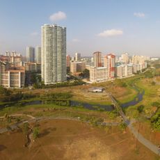
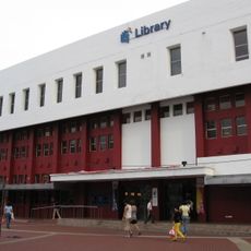
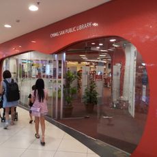
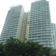
Ang Mo Kio is a residential planning area in the North-East Region of Singapore that covers a large area with multiple distinct zones. The neighborhood combines public housing developments with private residential properties, creating a mixed community for residents.
The Housing and Development Board began developing this area in 1973, transforming agricultural land into Singapore's seventh satellite town. The construction was completed by 1980, reshaping the urban landscape of the region.
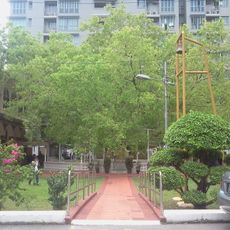
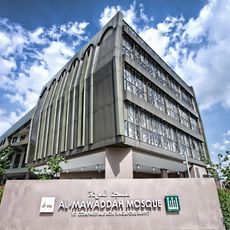
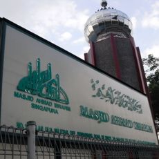
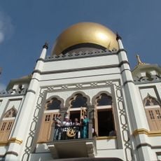
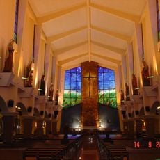
The neighborhood's name comes from the Hokkien language and refers to bridges, reflecting the cultural diversity of the area. Temples, mosques, and community centers are woven into daily life here, serving residents from different backgrounds.
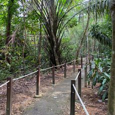
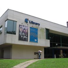
The area connects well to Singapore's transportation network through several MRT stations that provide easy access throughout the region. Walking between different zones is straightforward, and local amenities are conveniently distributed across the neighborhood.
In 1986, the area established Singapore's first three town councils, creating an important precedent for local governance. This pioneering system later became the model for how communities throughout Singapore would manage their own affairs.
The community of curious travelers
AroundUs brings together thousands of curated places, local tips, and hidden gems, enriched daily by 60,000 contributors worldwide.