Enable Location

We need your location to show you interesting places around you

Discover nearby places

Find interesting locations and hidden gems around you

Precise directions

Get accurate directions and distances to places

Your location is never shared with other users. It's only used when you tap the location button.

Lower Seletar Reservoir

Log in to your account

Start exploring — it's free

Trusted by 62,466 travelers worldwide

Continue with Google
Continue with Apple
or

We will send you a code to connect

By continuing, you accept our Terms and Conditions and our Privacy Policy

Check your inbox

We've sent a pincode in your inbox. Please enter the code below.

Lower Seletar Reservoir

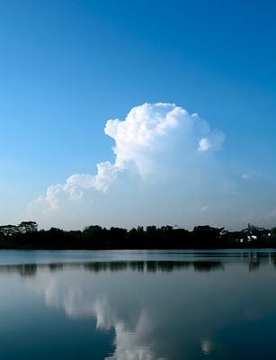
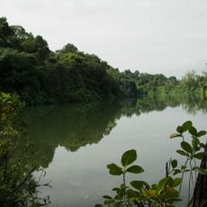
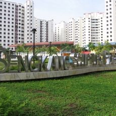
Lower Seletar Reservoir, reservoir

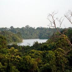
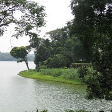
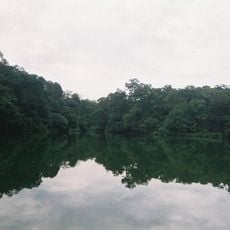
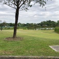
Lower Seletar Reservoir is a large body of water in northern Singapore surrounded by green spaces and wide walking paths. The area includes a water sports centre where kayaks and dragon boats can be rented, Family Bay with a children's play zone and stream, a fishing jetty, shelters, and a jogging track stretching over a kilometer.

The reservoir was developed as part of Singapore's water management strategy and features a heritage deck that explains its role in supplying water to the city. Today it represents Singapore's approach to combining water storage with natural-looking landscapes and community spaces.

The name comes from the Seletar River, which flows through northern Singapore. The place serves as a gathering spot where families and friends spend time together outdoors, particularly at Family Bay where performances and children's activities happen regularly.

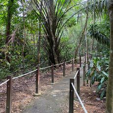
Take the MRT to Khatib station and walk for about 10 minutes, or use nearby buses and free parking along Yishun Avenue 1 where spaces are limited. The park is open day and night, so visiting early morning or late evening helps you avoid crowds and is especially good for photography.

A wooden bridge on the grounds mimics the shape of a kelong, the traditional fishing platform that once dotted Singapore's coastline. The bridge features a shaded pavilion and information panels that tell stories about the area's water heritage and its past connection to fishing communities.

The community of curious travelers

AroundUs brings together thousands of curated places, local tips, and hidden gems, enriched daily by 60,000 contributors worldwide.

Start exploring
Location
Lower Seletar
GPS coordinates
1.40417,103.83972
Latest update
February 7, 2026 11:00
« Lower Seletar Reservoir - reservoir » is provided by Around Us (aroundus.com). Images and texts are derived from Wikimedia project under a Creative Commons license. You are allowed to copy, distribute, and modify copies of this page, under the conditions set by the license, as long as this note is clearly visible.

Discover hidden gems everywhere you go!

From secret cafés to breathtaking viewpoints, skip the crowded tourist spots and find places that match your style. Our app makes it easy with voice search, smart filtering, route optimization, and insider tips from travelers worldwide. Download now for the complete mobile experience.

Around Us App Screenshot

A unique approach to discovering new places

Le Figaro

All the places worth exploring

France Info

A tailor-made excursion in just a few clicks

20 Minutes

Around Us
Travel Guide & Maps
Download

Send to your phone

QR Code
1

Open the camera app on your mobile.

2

Point at the QR code with your camera. A notification will appear.

3

Tap the notification to open the link.