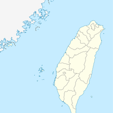
Central Mountain Range, Mountain range in central Taiwan.
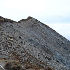
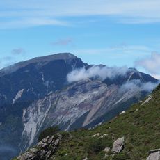
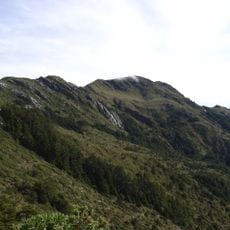
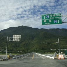
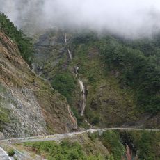
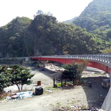
The Central Mountain Range extends from Su'ao in the northeast to Eluanbi at Taiwan's southern tip, reaching elevations of 3,825 meters above sea level. This mountain system runs along the spine of the island, dividing the east and west coastal regions through steep valleys and jagged peaks.
During the Qing Dynasty, locals called this mountain chain Ta-shan, meaning Big Mountains in Chinese. Japanese cartographers mapped the peaks in the early 20th century, giving many their present names.
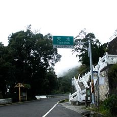
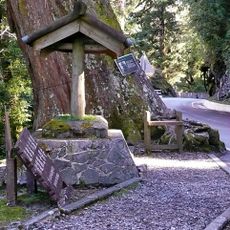
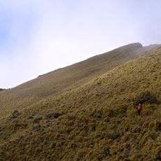
This mountain system is known as Chūng-iong Soaⁿ-me̍h in Taiwanese, reflecting its central position across the island. Hikers often pass through indigenous villages along the slopes, where residents cultivate rice terraces and gather wild plants in ways their families have done for generations.
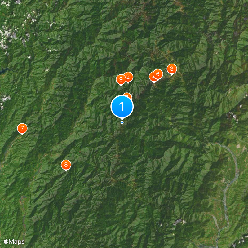
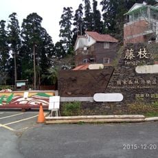
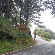
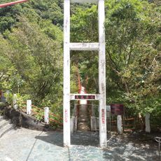
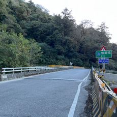
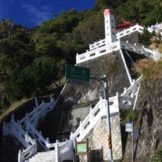
Visitors need permits to enter many trails within these mountains, especially in protected zones like Yushan National Park and Taroko National Park. Weather changes quickly with altitude, so prepare for colder conditions even when the valley is warm.
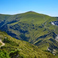
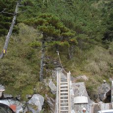
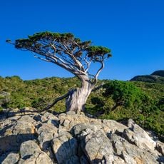
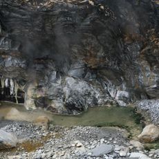
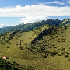
These mountains create distinct microclimates at different altitudes, supporting ecosystems from subtropical evergreen forests at lower levels to subalpine zones at higher elevations. Hikers can climb through multiple climate zones within a few days, experiencing a change in vegetation that would normally require traveling thousands of kilometers.
The community of curious travelers
AroundUs brings together thousands of curated places, local tips, and hidden gems, enriched daily by 60,000 contributors worldwide.