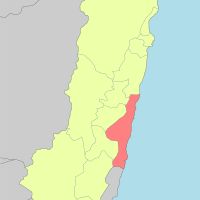
Hualien County, County on the eastern coast of Taiwan
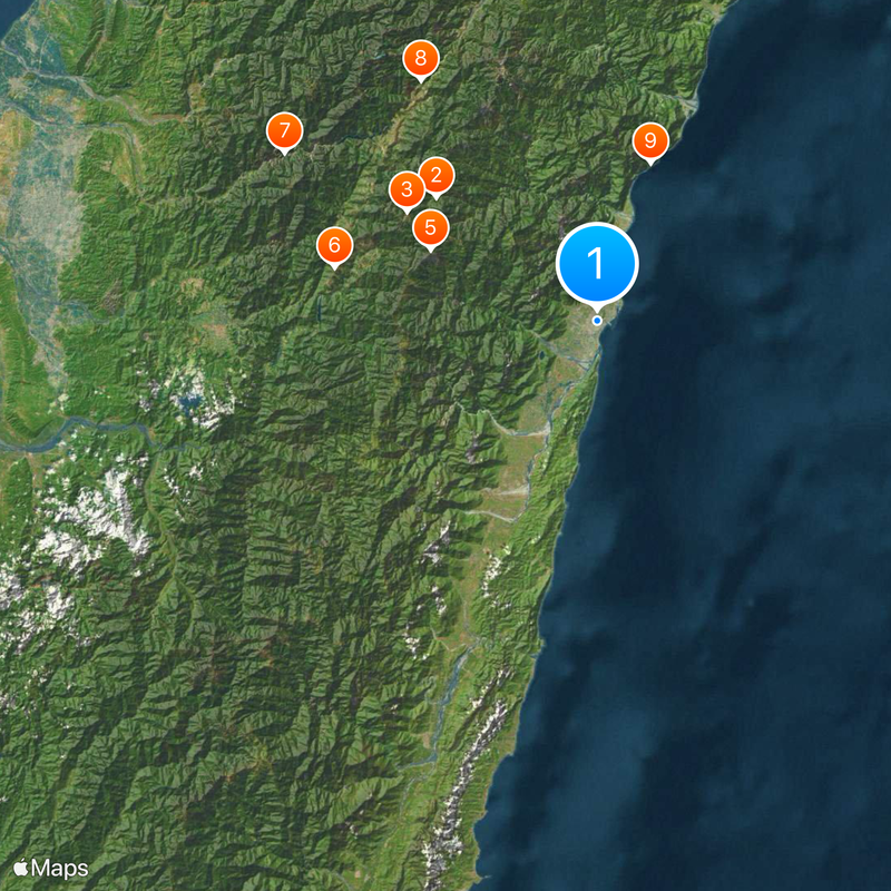
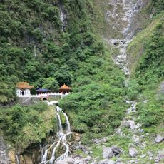
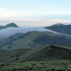
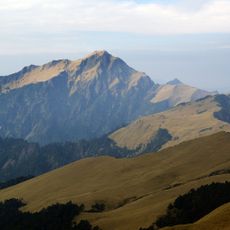
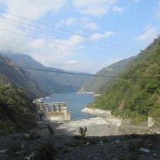
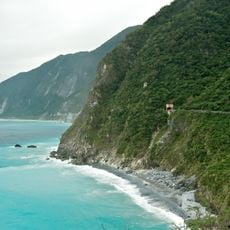
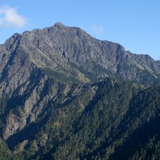
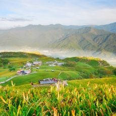
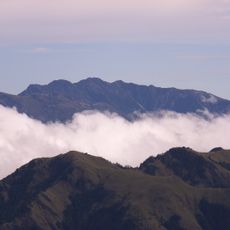
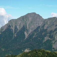
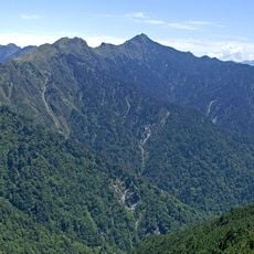
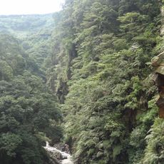
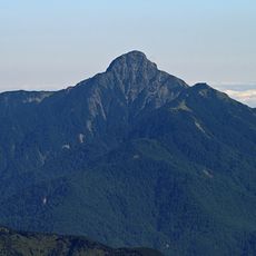
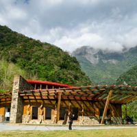
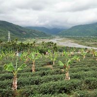
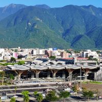
Hualien is an administrative division on the eastern coast of Taiwan that stretches about 4,628 square kilometers between the Central Mountain Range and the Pacific Ocean. The landscape includes rugged mountain slopes, narrow coastal plains, deep river valleys, and steep cliffs dropping into the sea.
Indigenous peoples inhabited the valleys and coastal areas for centuries before Japan annexed the region in the late 1800s and governed it as Karenkō Prefecture until 1945. After World War II, the territory was formally organized as a county under the Republic of China in 1946.
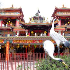
The Amis, Atayal, Truku, and Bunun peoples maintain their languages and customs in the coastal settlements and mountain valleys. Visitors can attend markets, festivals, and ceremonies where traditional music, dances, and handwoven textiles are displayed.
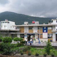
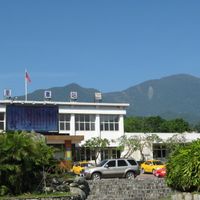
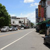
An airport, train station, and port connect the region to other parts of Taiwan, while buses and minibuses link the thirteen townships. Most accommodations and services concentrate along the narrow coastal road and in the main valley.
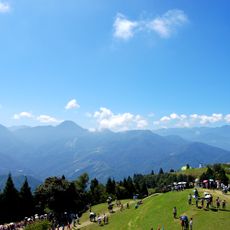
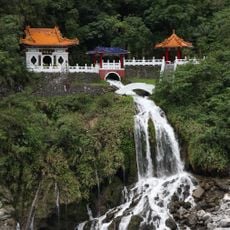
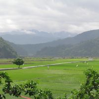
Most residents live in the Huadong Valley, while about 93 percent of the territory remains uninhabited due to steep mountain ranges. Hiking trails and forest roads lead into these remote zones, which are mainly home to wildlife and rare plant species.
The community of curious travelers
AroundUs brings together thousands of curated places, local tips, and hidden gems, enriched daily by 60,000 contributors worldwide.