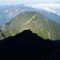
Xiangyang Collapse, Mountain cliff in Lidao, Taiwan
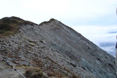
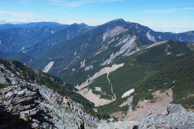
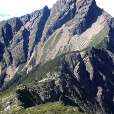
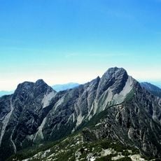
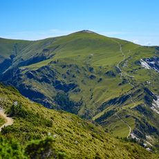
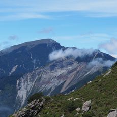
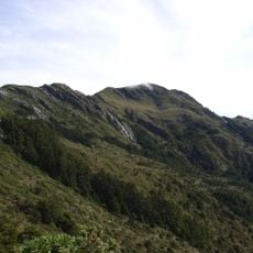
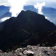
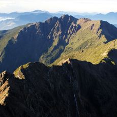
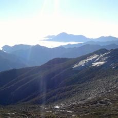
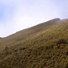
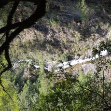
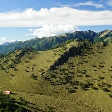
Xiangyang Collapse is a cliff face near Lidao on Taiwan, stretching across a curved ridge roughly 3 kilometers long. The vertical drop reaches around 800 meters, positioned at an elevation of about 3450 meters on the mountain's edge.
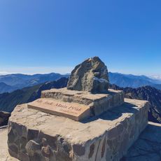
Mountaineers first documented this cliff in April 1930 when an expedition team led by Takashige Yoshii reached the summit during the Japanese colonial period. This early ascent marked an important moment in the exploration of Taiwan's high mountain regions.
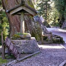
The mountain received its name from the Bunun indigenous people, who honored a hunter lost during a winter expedition. This naming reflects the deep connection between the landscape and the stories of those who have lived here for generations.
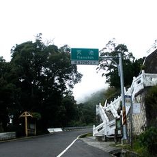
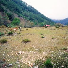
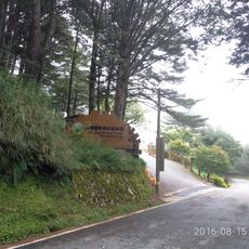
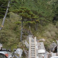
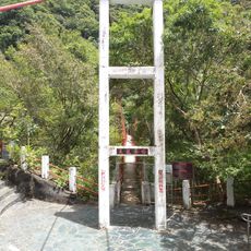
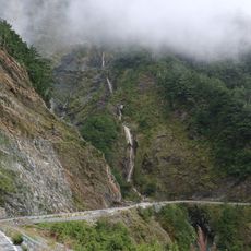
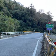
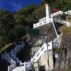
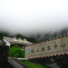
Visitors need advanced climbing equipment and experienced guidance to safely navigate this cliff face. Access is available through the Xiangyang Forest Recreation Area along the Southern Cross-Island Highway.
The metamorphic rock surfaces of this cliff shimmer with reddish hues at sunset, earning it the alternative name Red Leaf Mountain. This optical quality makes it particularly popular with photographers and nature observers.
The community of curious travelers
AroundUs brings together thousands of curated places, local tips, and hidden gems, enriched daily by 60,000 contributors worldwide.