Mendip Hills, Limestone hills in Somerset, England
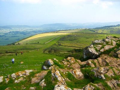
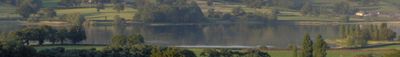
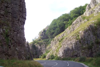
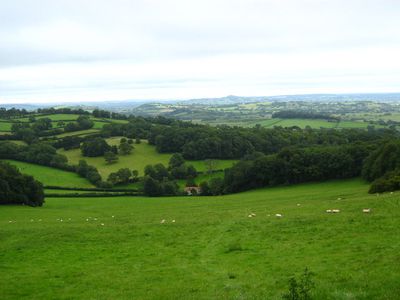
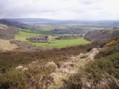
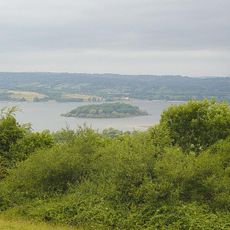
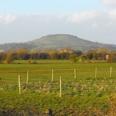
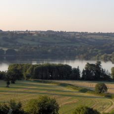
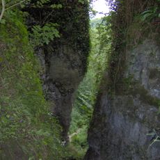
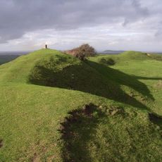
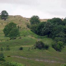
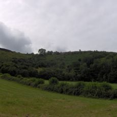
The Mendip Hills are a limestone range in Somerset stretching roughly 45 kilometers with its highest point, Black Down, at about 325 meters. The landscape features rolling terrain mixed with steep slopes, open moorland, and wooded sections carved throughout by natural caves and underground streams.
The Romans recognized the mineral wealth here, particularly lead, and established extensive mining that shaped the region for centuries. This early extraction left lasting marks on the landscape and established a long relationship between people and the resources of these hills.
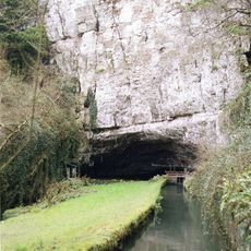
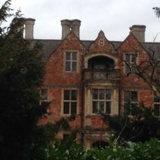
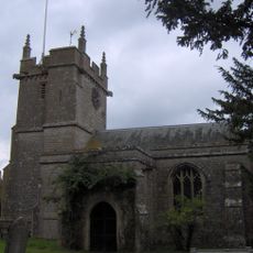
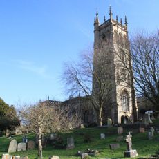
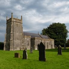
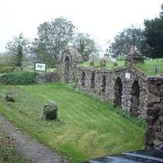
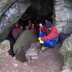
The caves here have long served as natural shelters and gathering places for people across different periods. Walking through them today gives a sense of how communities once used these spaces in their daily lives.
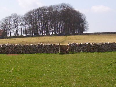
Marked footpaths link different sections and let you explore at your own pace depending on your time and fitness level. Multiple car parks provide access to various starting points throughout the area, making it easy to find a suitable route for your visit.
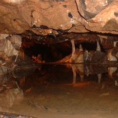
The limestone composition has created an extensive cave system that forms one of Britain's largest karst landscapes, with complex underground water networks running beneath the surface. This hidden structure makes the hills a key location in the country for cave exploration and hydrogeological research.
The community of curious travelers
AroundUs brings together thousands of curated places, local tips, and hidden gems, enriched daily by 60,000 contributors worldwide.