Perry County, County in southeastern Missouri, US
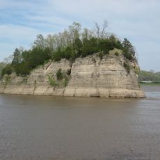
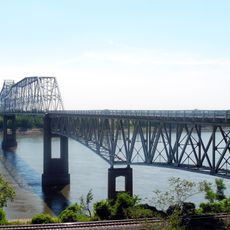
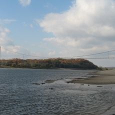
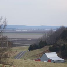
Perry County is an administrative region in southeastern Missouri covering approximately 484 square miles, combining farmland along the Mississippi River with gently rolling hills and fertile soil. The landscape and terrain shape how communities are distributed across the area.
The county was established in 1820 from Ste. Genevieve County and named after Oliver Hazard Perry, a naval commander from the War of 1812. This founding coincided with the period when the region experienced rapid settlement.
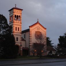
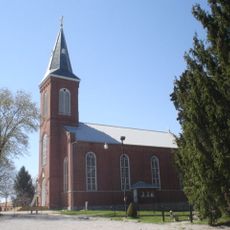
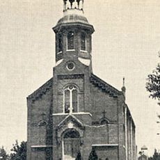
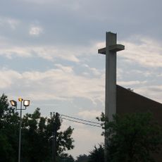
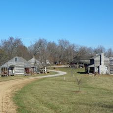
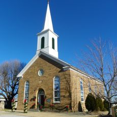
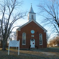
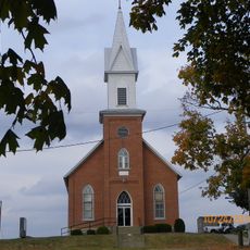
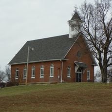
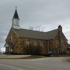
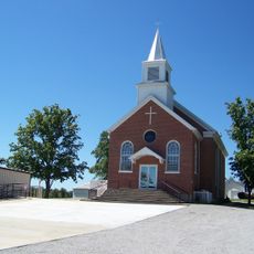
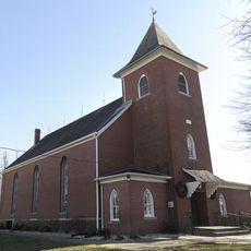
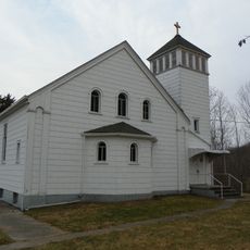
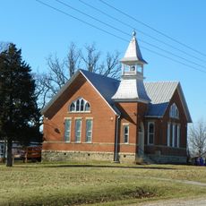
German immigrants shaped the region from the 1830s onward, leaving a strong heritage visible in local crafts, celebrations, and family traditions that continue today.
Visitors can reach Perryville, the county seat, where basic services and local information are available. The best time to explore is during warmer months when roads and attractions are easily accessible.
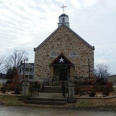
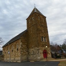
St. Mary's of the Barrens Seminary, an educational institution within the county, was the first college founded west of the Mississippi River. This early school played an important role in educating pioneers and immigrants in the developing region.
The community of curious travelers
AroundUs brings together thousands of curated places, local tips, and hidden gems, enriched daily by 60,000 contributors worldwide.