·

Enable Location

We need your location to show you interesting places around you

Discover nearby places

Find interesting locations and hidden gems around you

Precise directions

Get accurate directions and distances to places

Your location is never shared with other users. It's only used when you tap the location button.

Hull Shore Drive and Nantasket Avenue

Log in to your account

Start exploring — it's free

Trusted by 62,668 travelers worldwide

Continue with Google
Continue with Apple
or

We will send you a code to connect

By continuing, you accept our Terms and Conditions and our Privacy Policy

Check your inbox

We've sent a pincode in your inbox. Please enter the code below.

Hull Shore Drive and Nantasket Avenue, Historic coastal parkway in Hull, Massachusetts.

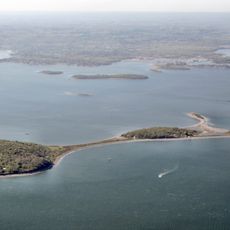
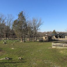
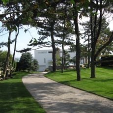
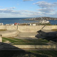
Hull Shore Drive and Nantasket Avenue form a coastal road system running parallel to Nantasket Beach in Hull, Massachusetts. The routes feature divided roadways with green spaces and direct access to the waterfront area.

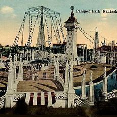
This road system developed in the late 1800s as part of the region's parks and recreational infrastructure. It was later added to the National Register of Historic Places, reflecting its importance to coastal development planning.

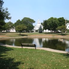
The roads reflect how this coastal town evolved as a seaside destination for visitors seeking ocean recreation. Walking along them, you notice buildings and spaces that still carry marks of this resort-oriented past.

The roads are easy to drive along and offer parking areas near the beach. The area is straightforward to explore on foot, with plenty of space for walking and viewing the coastline.

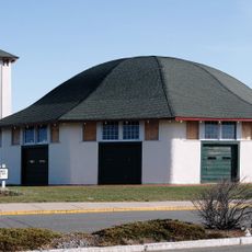
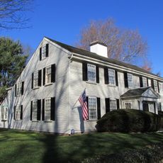
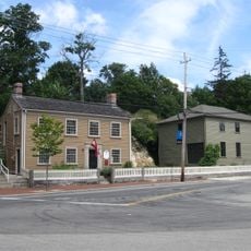
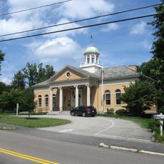
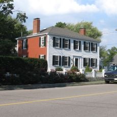
Roughly eighty buildings line this route under local stewardship, documenting coastal leisure life from earlier times. This collection represents a rare surviving example of how a seaside resort area was built and organized.

The community of curious travelers

AroundUs brings together thousands of curated places, local tips, and hidden gems, enriched daily by 60,000 contributors worldwide.

Start exploring
Location
GPS coordinates
42.27222,-70.86083
Latest update
December 14, 2025 16:46
Around this place
Show the full map
« Hull Shore Drive and Nantasket Avenue - Historic coastal parkway in Hull, Massachusetts » is provided by Around Us (aroundus.com). Images and texts are derived from Wikimedia project under a Creative Commons license. You are allowed to copy, distribute, and modify copies of this page, under the conditions set by the license, as long as this note is clearly visible.

Discover hidden gems everywhere you go!

From secret cafés to breathtaking viewpoints, skip the crowded tourist spots and find places that match your style. Our app makes it easy with voice search, smart filtering, route optimization, and insider tips from travelers worldwide. Download now for the complete mobile experience.

Around Us App Screenshot

A unique approach to discovering new places

Le Figaro

All the places worth exploring

France Info

A tailor-made excursion in just a few clicks

20 Minutes

Around Us
Travel Guide & Maps
Download

Send to your phone

QR Code
1

Open the camera app on your mobile.

2

Point at the QR code with your camera. A notification will appear.

3

Tap the notification to open the link.