Chest opened
+${chestReward.xp} XP
Explorer
NOUVEAU ×${chestReward.collectible.quantity}
tapez pour fermer
Chest locked

Open chests in the app

Around Us is built for your phone — chests unlock when you walk, explore and capture nearby places.

Enable Location

We need your location to show you interesting places around you

Discover nearby places

Find interesting locations and hidden gems around you

Precise directions

Get accurate directions and distances to places

Your location is never shared with other users. It's only used when you tap the location button.

Grayson

Log in to your account

Start exploring — it's free

Trusted by 72,883 travelers worldwide

Continue with Google
Continue with Apple
or

We will send you a code to connect

By continuing, you accept our Terms and Conditions and our Privacy Policy

Check your inbox

We've sent a pincode in your inbox. Please enter the code below.

Discussion Reviews 1 Photos
20.2k Popularity

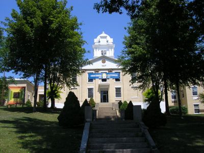
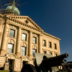
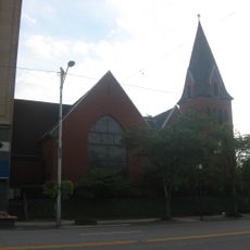
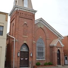
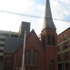
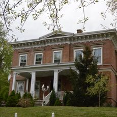
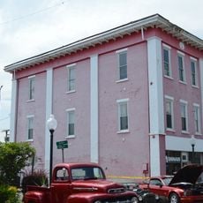
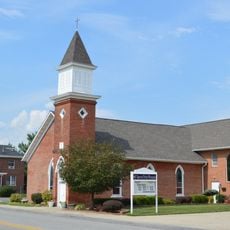
Grayson, city in Kentucky, United States

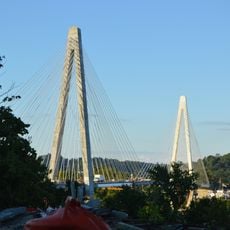
Grayson is a small city in Carter County, Kentucky, serving as the county seat in the northeastern part of the state. The city spans roughly 2.5 square miles and combines rural and suburban character, with major roads including Interstate 64 and US 60 running through it.

Grayson was historically classified as a 4th class city based on population size before gaining greater autonomy. In 2014, the city transitioned to Home Rule status, giving it more control over local laws and government decisions.

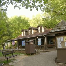
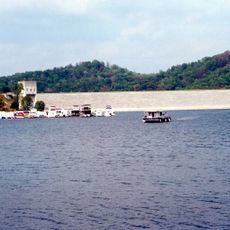
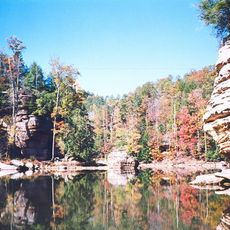
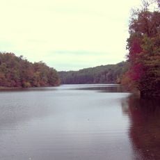
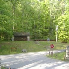
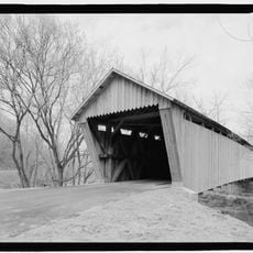
The city sits near the borders of Ohio and West Virginia with major roads like Interstate 64 and US Route 60 providing convenient access to neighboring states. Visitors can easily reach the area and quickly access four nearby state parks and Cave Run Lake, located about 45 miles to the west.

The town is known as "The Heart of the Parks" because of its proximity to four state parks that offer outdoor recreation and fishing opportunities. This nickname reflects how visitors use the city as a base for exploring nearby nature areas.

The community of curious travelers

AroundUs brings together thousands of curated places, local tips, and hidden gems, enriched daily by 60,000 contributors worldwide.

Start exploring
Location
Inception
1844
Elevation above the sea
193 m
GPS coordinates
38.33470,-82.94250
Latest update
February 16, 2026 22:00
Around this place
Carter Caves State Resort Park
United States of America

Carter Caves State Resort Park

16.3 km
Grayson Lake
United States of America

Grayson Lake

9.9 km
Paramount Arts Center
United States of America

Paramount Arts Center

30.7 km
Ironton–Russell Bridge
United States of America

Ironton–Russell Bridge

31.1 km
Grayson Lake State Park
United States of America

Grayson Lake State Park

14.7 km
Greenbo Lake
United States of America

Greenbo Lake

18.6 km
Ben Williamson Memorial Bridge
United States of America

Ben Williamson Memorial Bridge

31.1 km
Bat Cave and Cascade Caverns State Nature Preserves
United States of America

Bat Cave and Cascade Caverns State Nature Preserves

14.9 km
Highlands Museum and Discovery Center
United States of America

Highlands Museum and Discovery Center

30.9 km
Simeon Willis Memorial Bridge
United States of America

Simeon Willis Memorial Bridge

31.2 km
Elliott County Kimberlite
United States of America

Elliott County Kimberlite

23.1 km
Saltpeter Cave
United States of America

Saltpeter Cave

16.5 km
Downtown Ironton Historic District
United States of America

Downtown Ironton Historic District

31.7 km
Lawrence County Courthouse
United States of America

Lawrence County Courthouse

31.8 km
St. Paul's Lutheran Church
United States of America

St. Paul's Lutheran Church

30.4 km
Bennett's Mill Covered Bridge
United States of America

Bennett's Mill Covered Bridge

33 km
Grand Army of the Republic Memorial Hall
United States of America

Grand Army of the Republic Memorial Hall

31.8 km
First Presbyterian Church
United States of America

First Presbyterian Church

30.9 km
Oldtown Covered Bridge
United States of America

Oldtown Covered Bridge

11.5 km
First United Methodist Church
United States of America

First United Methodist Church

31.1 km
First Christian Church
United States of America

First Christian Church

31 km
St. James AME Church
United States of America

St. James AME Church

30.6 km
Ashland Commercial Historic District
United States of America

Ashland Commercial Historic District

30.9 km
Wurtland Union Church
United States of America

Wurtland Union Church

27.9 km
Bath Avenue Historic District
United States of America

Bath Avenue Historic District

30.5 km
Culbertson House
United States of America

Culbertson House

30.2 km
Greenup Masonic Lodge
United States of America

Greenup Masonic Lodge

28.6 km
Methodist Episcopal Church South
United States of America

Methodist Episcopal Church South

28.5 km
Show the full map
Reviews
Share your experience

No review yet

Discussions
Start a discussion...

No discussion yet

« Grayson - city in Kentucky, United States » is provided by Around Us (aroundus.com). Images and texts are derived from Wikimedia project under a Creative Commons license. You are allowed to copy, distribute, and modify copies of this page, under the conditions set by the license, as long as this note is clearly visible.

Discover hidden gems everywhere you go!

From secret cafés to breathtaking viewpoints, skip the crowded tourist spots and find places that match your style. Our app makes it easy with voice search, smart filtering, route optimization, and insider tips from travelers worldwide. Download now for the complete mobile experience.

Around Us App Screenshot

A unique approach to discovering new places

Le Figaro

All the places worth exploring

France Info

A tailor-made excursion in just a few clicks

20 Minutes

Around Us
Travel Guide & Maps
Download

Send to your phone

QR Code
1

Open the camera app on your mobile.

2

Point at the QR code with your camera. A notification will appear.

3

Tap the notification to open the link.