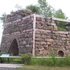
Pictured Rocks National Lakeshore, National lakeshore in Upper Peninsula, Michigan, United States.
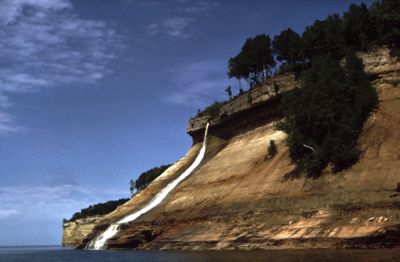
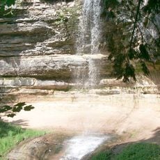
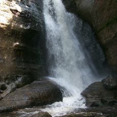
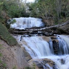
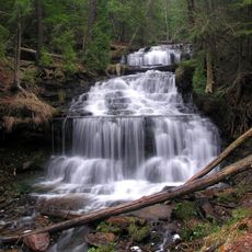
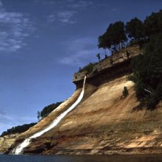
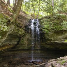
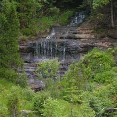
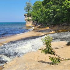
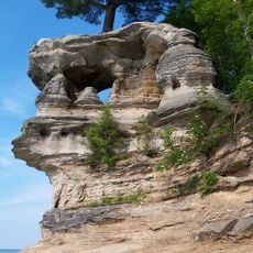
Pictured Rocks National Lakeshore is a protected shoreline along Lake Superior in Michigan's Upper Peninsula. The sandstone cliffs rise about 60 meters (200 feet) above the water and stretch for 68 kilometers (42 miles) along the coast.
The United States Congress established this site as the first national lakeshore in 1974. The decision aimed to protect the geological formations and natural shoreline for future generations.
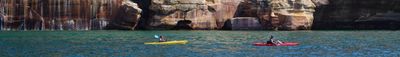
The name refers to mineral stains that paint the cliff faces in horizontal bands and vertical streaks. Local boaters and kayakers often pause beneath the walls to watch how sunlight shifts the colors throughout the day.
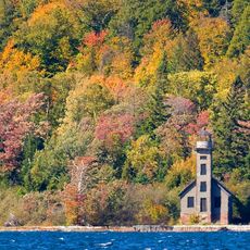
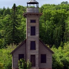
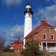
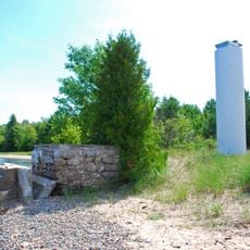
The visitor centers in Munising and Grand Marais provide information and orientation for exploring the shoreline. Camping permits are necessary during the busy summer months.
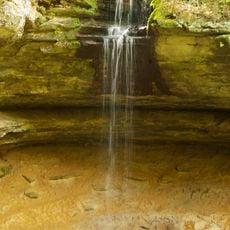
Groundwater carries dissolved minerals through the porous sandstone and creates natural color patterns in red, orange, blue, green, brown, black, and white. These stains shift depending on light and season.
The community of curious travelers
AroundUs brings together thousands of curated places, local tips, and hidden gems, enriched daily by 60,000 contributors worldwide.