Enable Location

We need your location to show you interesting places around you

Discover nearby places

Find interesting locations and hidden gems around you

Precise directions

Get accurate directions and distances to places

Your location is never shared with other users. It's only used when you tap the location button.

Cherry Valley National Wildlife Refuge

Log in to your account

Start exploring — it's free

Trusted by 61,628 travelers worldwide

Continue with Google
Continue with Apple
or

We will send you a code to connect

By continuing, you accept our Terms and Conditions and our Privacy Policy

Check your inbox

We've sent a pincode in your inbox. Please enter the code below.

Cherry Valley National Wildlife Refuge

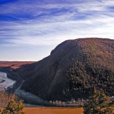
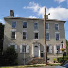
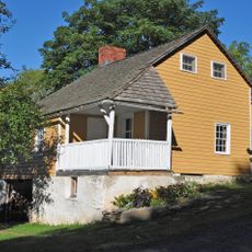
Cherry Valley National Wildlife Refuge, National Wildlife Refuge along Kittatinny Ridge, Pennsylvania

Description

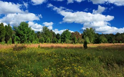
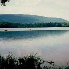
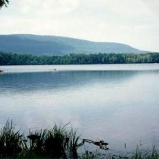
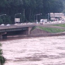
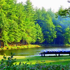
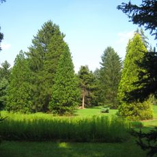
Cherry Valley National Wildlife Refuge is a protected area along Kittatinny Ridge with mixed habitats including wetlands, forests, and meadows. Cherry Creek runs through the property and connects it to the Delaware River.

History

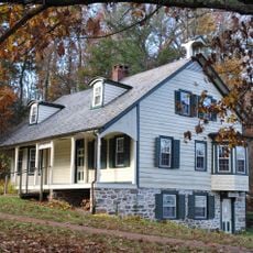
The refuge was established through conservation efforts by local groups beginning in the 1990s, with official congressional recognition coming in 2008. This development followed decades of growing concern about habitat protection in the region.

Culture

The refuge serves as a gathering place for bird watchers and nature photographers seeking to observe raptors and other wildlife. Visitors move quietly through the landscape, respecting the animals while connecting with the environment.

Practical

The refuge offers designated trails for safe exploration of the grounds, with rules including keeping pets under control. Visitors should observe wildlife from a distance and stay on marked pathways to protect both animals and habitats.

Did you know?

The Kittatinny Ridge area serves as a major migration corridor where thousands of raptors pass through each year. This seasonal concentration of hawks, eagles, and falcons makes it a prime location for watching these birds during their journey.

Location
Inception
2008
GPS coordinates
40.88110,-75.30730
Latest update
December 12, 2025 17:40

AroundUs brings together thousands of curated places, local tips, and hidden gems, enriched daily by 60,000 contributors worldwide. Discover all places nearby (Pennsylvania).

Around this place
Nazareth Speedway
United States of America

Nazareth Speedway

17.2 km
Camelback Mountain
United States of America

Camelback Mountain

18.3 km
Big Pocono State Park
United States of America

Big Pocono State Park

18.2 km
Delaware Water Gap Toll Bridge
United States of America

Delaware Water Gap Toll Bridge

18 km
Delaware River Viaduct
United States of America

Delaware River Viaduct

18.1 km
Sherman Theater
United States of America

Sherman Theater

15.3 km
Mount Minsi
United States of America

Mount Minsi

17.4 km
Jacobsburg Environmental Education Center
United States of America

Jacobsburg Environmental Education Center

10.4 km
Pinemere Camp
United States of America

Pinemere Camp

13.4 km
United States of America

Indian Tower

15 km
Weona Park Carousel
United States of America

Weona Park Carousel

5.1 km
Whitefield House and Gray Cottage
United States of America

Whitefield House and Gray Cottage

15.6 km
Columcille Megalith Park
United States of America

Columcille Megalith Park

10.3 km
Stroud Mansion
United States of America

Stroud Mansion

14.7 km
Quiet Valley Farm
United States of America

Quiet Valley Farm

9.7 km
Christ Hamilton United Lutheran Church and Cemetery
United States of America

Christ Hamilton United Lutheran Church and Cemetery

5.2 km
Lee and Virginia Graver Arboretum
United States of America

Lee and Virginia Graver Arboretum

10.2 km
Real Estate Building
United States of America

Real Estate Building

8.7 km
Monroe County Courthouse
United States of America

Monroe County Courthouse

15.1 km
Academy Hill Historic District
United States of America

Academy Hill Historic District

15.2 km
Ross Common Manor
United States of America

Ross Common Manor

1.8 km
Fenner–Snyder Mill
United States of America

Fenner–Snyder Mill

6.1 km
Bridge in Bangor Borough
United States of America

Bridge in Bangor Borough

8.5 km
County Bridge No. 36
United States of America

County Bridge No. 36

18.4 km
McCollum and Post Silk Mill
United States of America

McCollum and Post Silk Mill

15.8 km
Nazareth Historic District
United States of America

Nazareth Historic District

15.5 km
Nazareth Hall Tract
United States of America

Nazareth Hall Tract

15.2 km
Kitson Woolen Mill
United States of America

Kitson Woolen Mill

15.4 km
Show the full map
« Cherry Valley National Wildlife Refuge - National Wildlife Refuge along Kittatinny Ridge, Pennsylvania » is provided by Around Us (aroundus.com). Images and texts are derived from Wikimedia project under a Creative Commons license. You are allowed to copy, distribute, and modify copies of this page, under the conditions set by the license, as long as this note is clearly visible.

Discover hidden gems everywhere you go!

From secret cafés to breathtaking viewpoints, skip the crowded tourist spots and find places that match your style. Our app makes it easy with voice search, smart filtering, route optimization, and insider tips from travelers worldwide. Download now for the complete mobile experience.

Around Us App Screenshot

A unique approach to discovering new places

Le Figaro

All the places worth exploring

France Info

A tailor-made excursion in just a few clicks

20 Minutes

Around Us
Travel Guide & Maps
Download

Send to your phone

QR Code
1

Open the camera app on your mobile.

2

Point at the QR code with your camera. A notification will appear.

3

Tap the notification to open the link.