Chest opened
+${chestReward.xp} XP
Explorer
NOUVEAU ×${chestReward.collectible.quantity}
tapez pour fermer
Chest locked

Open chests in the app

Around Us is built for your phone — chests unlock when you walk, explore and capture nearby places.

Enable Location

We need your location to show you interesting places around you

Discover nearby places

Find interesting locations and hidden gems around you

Precise directions

Get accurate directions and distances to places

Your location is never shared with other users. It's only used when you tap the location button.

Log in to your account

Start exploring — it's free

Trusted by 72,927 travelers worldwide

Continue with Google
Continue with Apple
or

We will send you a code to connect

By continuing, you accept our Terms and Conditions and our Privacy Policy

Check your inbox

We've sent a pincode in your inbox. Please enter the code below.

Lindenwood
Discussion Reviews Photo
2.9k Popularity

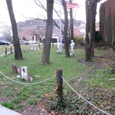
Lindenwood, Residential neighborhood in Queens, New York, United States

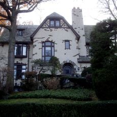
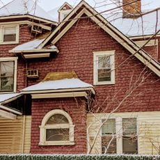
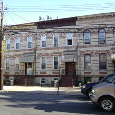
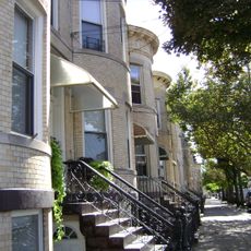
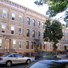
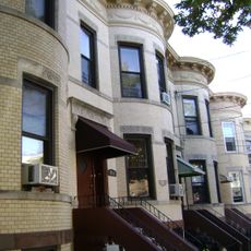
Lindenwood is a residential area in Queens with tree-lined streets and single-family homes set back from the road. The neighborhood consists mainly of houses built from the 1950s onward, creating a low-density residential pattern with consistent block layouts.

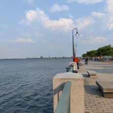
The neighborhood emerged after the Belt Parkway was built in the 1930s on former swampland. Residential construction accelerated during the 1950s, establishing the area as a family-oriented community.

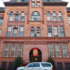
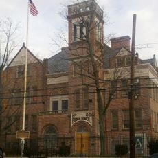
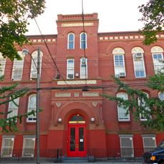
The neighborhood maintains multiple educational institutions, including PS 232, St. Virgilius School, and St. Demetrios School, serving families of different backgrounds.

Several bus stops provide connections to the wider transit network, making it easier to reach downtown areas and other neighborhoods. The proximity to major roads and the airport means traffic can be heavy during certain times of day.

The median household income reaches $86,997, with 67 percent of residents owning their homes, creating a stable community within the southeastern section of Queens.

The community of curious travelers

AroundUs brings together thousands of curated places, local tips, and hidden gems, enriched daily by 60,000 contributors worldwide.

Start exploring
Location
GPS coordinates
40.66350,-73.85220
Latest update
December 12, 2025 12:07
Around this place
Forest Park
United States of America

Forest Park

4.6 km
Shirley Chisholm State Park
United States of America

Shirley Chisholm State Park

3 km
Christian Cultural Center
United States of America

Christian Cultural Center

3.4 km
Spring Creek Park
United States of America

Spring Creek Park

1.4 km
United States of America

Betsy Head Memorial Playground

5.2 km
Mount Carmel Cemetery
United States of America

Mount Carmel Cemetery

4.1 km
75th Police Precinct Station House
United States of America

75th Police Precinct Station House

3.6 km
Maple Grove Cemetery
United States of America

Maple Grove Cemetery

5.5 km
Forest Park Carousel
United States of America

Forest Park Carousel

4.1 km
United States of America

Union Course

2.9 km
Remsen Cemetery
United States of America

Remsen Cemetery

5.4 km
Joseph P. Addabbo Memorial Bridge
United States of America

Joseph P. Addabbo Memorial Bridge

2.8 km
Ralph Johnson Bunche House
United States of America

Ralph Johnson Bunche House

5 km
Substation 401
United States of America

Substation 401

3.2 km
Public School 108
United States of America

Public School 108

3.4 km
Public School 66
United States of America

Public School 66

3.8 km
Richmond Hill Historic District
United States of America

Richmond Hill Historic District

4.6 km
Cooper Avenue Row Historic District
United States of America

Cooper Avenue Row Historic District

5 km
Public School 65K
United States of America

Public School 65K

3.1 km
Summerfield Street Row Historic District
United States of America

Summerfield Street Row Historic District

5.6 km
Central Avenue Historic District
United States of America

Central Avenue Historic District

5.4 km
75th Avenue–61st Street Historic District
United States of America

75th Avenue–61st Street Historic District

5.3 km
Jamaica Bay Wildlife Refuge
United States of America

Jamaica Bay Wildlife Refuge

5.6 km
Key Food
United States of America

Key Food

5.4 km
Blessed Sacrament Church
United States of America

Blessed Sacrament Church

2.9 km
Stop & Shop
United States of America

Stop & Shop

993 m
Loew's Pitkin Theatre
United States of America

Loew's Pitkin Theatre

5.6 km
Canarsie Beach
United States of America

Canarsie Beach

4.9 km
Show the full map
Reviews
Share your experience

No review yet

Discussions
Start a discussion...

No discussion yet

« Lindenwood - Residential neighborhood in Queens, New York, United States » is provided by Around Us (aroundus.com). Images and texts are derived from Wikimedia project under a Creative Commons license. You are allowed to copy, distribute, and modify copies of this page, under the conditions set by the license, as long as this note is clearly visible.

Discover hidden gems everywhere you go!

From secret cafés to breathtaking viewpoints, skip the crowded tourist spots and find places that match your style. Our app makes it easy with voice search, smart filtering, route optimization, and insider tips from travelers worldwide. Download now for the complete mobile experience.

Around Us App Screenshot

A unique approach to discovering new places

Le Figaro

All the places worth exploring

France Info

A tailor-made excursion in just a few clicks

20 Minutes

Around Us
Travel Guide & Maps
Download

Send to your phone

QR Code
1

Open the camera app on your mobile.

2

Point at the QR code with your camera. A notification will appear.

3

Tap the notification to open the link.