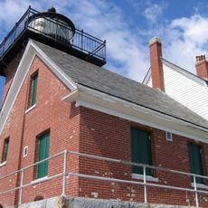
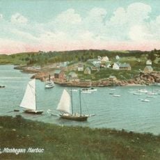
Matinicus Rock Light, Nineteenth-century lighthouse in Knox County, United States
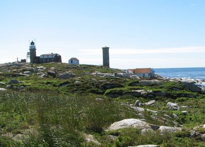
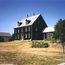
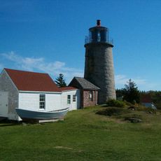
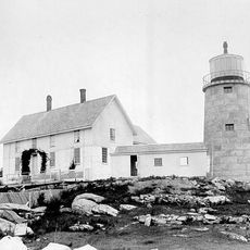
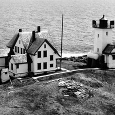
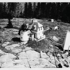
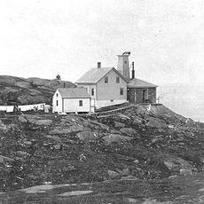
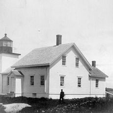
Matinicus Rock Light is a granite lighthouse on a small, flat island off the coast of Maine, about 25 miles (40 km) southeast of Rockland. The station has two cylindrical towers built in the 19th century, along with the former keeper quarters that still stand on the rock.
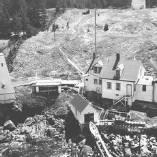
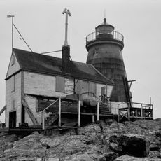
The first station on the rock was built in 1827 with wooden towers and a stone keeper's house. By 1848, the wooden towers had been replaced by the two granite structures that remain standing today.
Abbie Burgess tended the lights here alone for weeks in the winter of 1856 while her father was stranded on the mainland. Her story became one of the most retold in Maine maritime tradition, and her name is still closely tied to this remote rock.
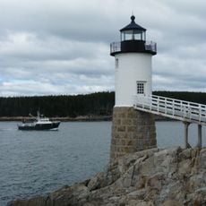
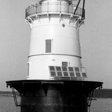
The island is a protected research area and is not open to visitors. The light itself is automated and visible from the water, particularly at dusk or after dark.
The station was built with two towers because a single light was not considered powerful enough to guide ships safely in that stretch of water. Running two lights at once was a practical solution before modern optics made it possible to project a beam far enough from a single source.
The community of curious travelers
AroundUs brings together thousands of curated places, local tips, and hidden gems, enriched daily by 60,000 contributors worldwide.