
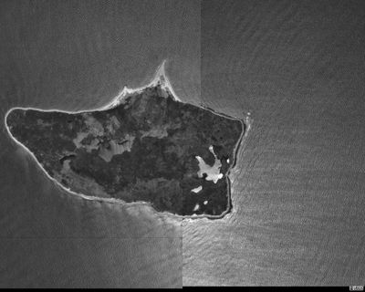
Nomans Land Island National Wildlife Refuge, espace naturel protégé américain
Location: Massachusetts
Inception: 1998
Website: https://fws.gov/refuge/nomans_land_island
GPS coordinates: 41.25500,-70.81500
Latest update: March 20, 2025 16:12
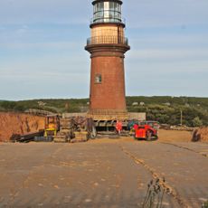
Gay Head Light
10.5 km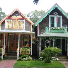
Wesleyan Grove
30.8 km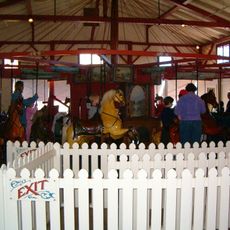
Flying Horses Carousel
31.1 km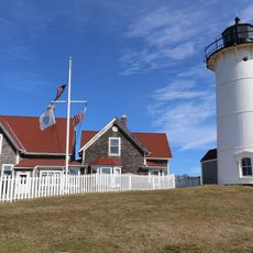
Nobska Light
31.9 km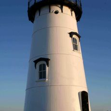
Edgartown Harbor Light
30.1 km
Wasque
31.7 km
Coast Guard Station Woods Hole
32.1 km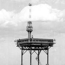
Buzzards Bay Entrance Light
24.2 km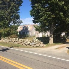
Barn House
12 km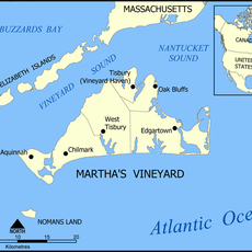
Lambert's Cove Beach
24.7 km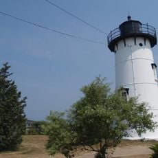
East Chop Light
31.7 km
Polly Hill Arboretum
19.4 km
Tarpaulin Cove Light
24.3 km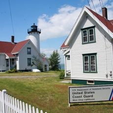
West Chop Light
30.8 km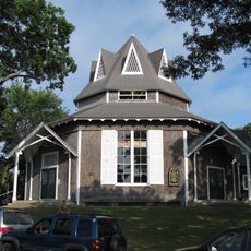
Union Chapel
30.9 km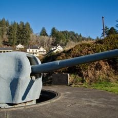
Brewster Islands Military Reservation
11 km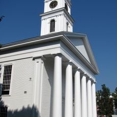
Edgartown Village Historic District
29.4 km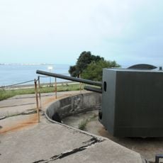
Barneys Joy Point Military Reservation
31.7 km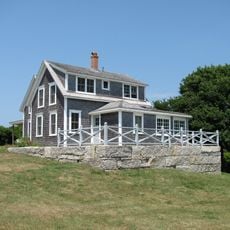
Edwin DeVries Vanderhoop Homestead
10.2 km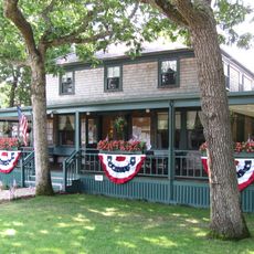
West Chop Club Historic District
30.6 km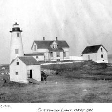
Cuttyhunk Light
21 km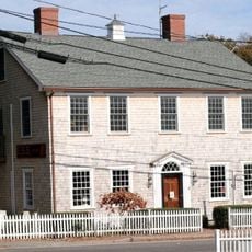
Ritter House
28.4 km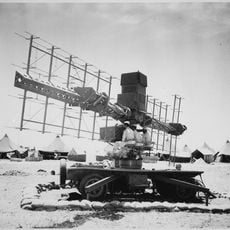
Calf Island Military Reservation
11.7 km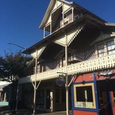
The Arcade
31 km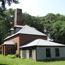
Tashmoo Springs Pumping Station
26.9 km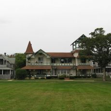
Dr. Harrison A. Tucker Cottage
31 km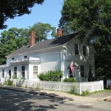
William Street Historic District
28.4 km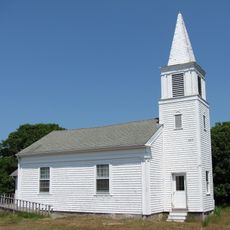
Gay Head-Aquinnah Town Center Historic District
9.7 kmVisited this place? Tap the stars to rate it and share your experience / photos with the community! Try now! You can cancel it anytime.
Discover hidden gems everywhere you go!
From secret cafés to breathtaking viewpoints, skip the crowded tourist spots and find places that match your style. Our app makes it easy with voice search, smart filtering, route optimization, and insider tips from travelers worldwide. Download now for the complete mobile experience.

A unique approach to discovering new places❞
— Le Figaro
All the places worth exploring❞
— France Info
A tailor-made excursion in just a few clicks❞
— 20 Minutes