Chest opened
+${chestReward.xp} XP
Explorer
NOUVEAU ×${chestReward.collectible.quantity}
tapez pour fermer
Chest locked

Open chests in the app

Around Us is built for your phone — chests unlock when you walk, explore and capture nearby places.

Enable Location

We need your location to show you interesting places around you

Discover nearby places

Find interesting locations and hidden gems around you

Precise directions

Get accurate directions and distances to places

Your location is never shared with other users. It's only used when you tap the location button.

Port Richmond

Log in to your account

Start exploring — it's free

Trusted by 72,879 travelers worldwide

Continue with Google
Continue with Apple
or

We will send you a code to connect

By continuing, you accept our Terms and Conditions and our Privacy Policy

Check your inbox

We've sent a pincode in your inbox. Please enter the code below.

Port Richmond
Discussion Reviews 1 Photos
500+ Popularity

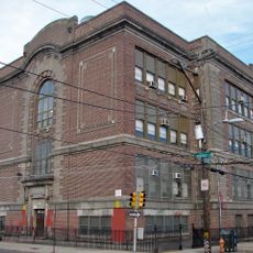
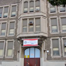
Port Richmond, Residential neighborhood in Philadelphia, US

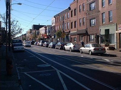
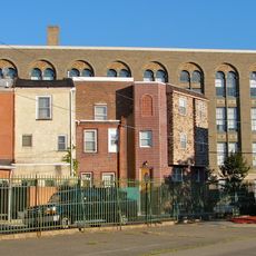
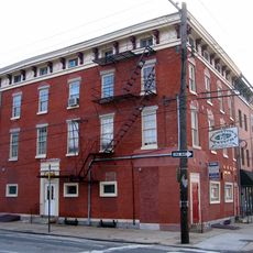
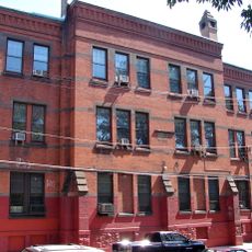
Port Richmond is a residential neighborhood in Philadelphia featuring closely spaced row houses with large porches and deep yards. The area extends from Frankford Creek to Lehigh Avenue, creating a consistent residential streetscape.

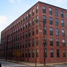
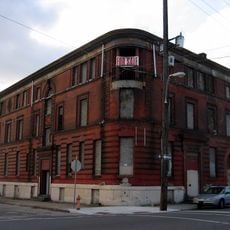
The neighborhood grew around the William Cramp & Sons shipyard, which operated from the 1800s through World War II. Industrial employment drew workers to the area and shaped its growth for generations.

Polish heritage shapes daily life here through shops, restaurants, and community organizations clustered along Allegheny Avenue. This presence influences the character and rhythm of the neighborhood's streets.

The neighborhood is served by the Richmond-Westmoreland public transit line, which connects to Frankford Transportation Center. From there, you can access buses and trains throughout the city network.

Tacconelli's Pizza, a local establishment, prepares tomato pies using traditional methods and requires advance reservations. This specialized cooking approach draws visitors from across the city.

The community of curious travelers

AroundUs brings together thousands of curated places, local tips, and hidden gems, enriched daily by 60,000 contributors worldwide.

Start exploring
Location
GPS coordinates
39.97678,-75.10017
Latest update
December 14, 2025 20:25
Around this place
Betsy Ross Bridge
United States of America

Betsy Ross Bridge

3 km
Penn Treaty Park
United States of America

Penn Treaty Park

2.7 km
Delair Bridge
United States of America

Delair Bridge

2.7 km
USS Olympia
United States of America

USS Olympia

3.6 km
Barnegat
United States of America

Barnegat

2.6 km
Kensington High School
United States of America

Kensington High School

2.4 km
Immaculate Conception Roman Catholic Church , Philadelphia
United States of America

Immaculate Conception Roman Catholic Church , Philadelphia

3.4 km
Penn Treaty Junior High School
United States of America

Penn Treaty Junior High School

2.4 km
St. Joseph Pro-Cathedral
United States of America

St. Joseph Pro-Cathedral

3.6 km
Daniel Boone School
United States of America

Daniel Boone School

3.1 km
Green Tree Tavern
United States of America

Green Tree Tavern

2.9 km
Philip H. Sheridan School
United States of America

Philip H. Sheridan School

2.8 km
Joseph Cooper House
United States of America

Joseph Cooper House

2.8 km
Frances E. Willard School
United States of America

Frances E. Willard School

2.2 km
Beatty's Mills Factory Building
United States of America

Beatty's Mills Factory Building

2.6 km
26th District Police and Patrol Station
United States of America

26th District Police and Patrol Station

2.6 km
Conwell Middle Magnet School
United States of America

Conwell Middle Magnet School

2.3 km
Memphis Street Academy
United States of America

Memphis Street Academy

1.5 km
Francis Hopkinson School
United States of America

Francis Hopkinson School

3.5 km
Alternative Middle Years at James Martin School
United States of America

Alternative Middle Years at James Martin School

1 km
Thomas Powers School
United States of America

Thomas Powers School

2.1 km
Richmond School
United States of America

Richmond School

1.1 km
David Farragut School
United States of America

David Farragut School

3.3 km
Newton Friends' Meetinghouse
United States of America

Newton Friends' Meetinghouse

3.7 km
Lithuanian Hall (Philadelphia, Pennsylvania)
United States of America

Lithuanian Hall (Philadelphia, Pennsylvania)

797 m
William Adamson School
United States of America

William Adamson School

3.6 km
Brooklyn Bowl
United States of America

Brooklyn Bowl

3.2 km
The Clay Studio
United States of America

The Clay Studio

3.4 km
Show the full map
Reviews
Share your experience

No review yet

Discussions
Start a discussion...

No discussion yet

« Port Richmond - Residential neighborhood in Philadelphia, US » is provided by Around Us (aroundus.com). Images and texts are derived from Wikimedia project under a Creative Commons license. You are allowed to copy, distribute, and modify copies of this page, under the conditions set by the license, as long as this note is clearly visible.

Discover hidden gems everywhere you go!

From secret cafés to breathtaking viewpoints, skip the crowded tourist spots and find places that match your style. Our app makes it easy with voice search, smart filtering, route optimization, and insider tips from travelers worldwide. Download now for the complete mobile experience.

Around Us App Screenshot

A unique approach to discovering new places

Le Figaro

All the places worth exploring

France Info

A tailor-made excursion in just a few clicks

20 Minutes

Around Us
Travel Guide & Maps
Download

Send to your phone

QR Code
1

Open the camera app on your mobile.

2

Point at the QR code with your camera. A notification will appear.

3

Tap the notification to open the link.