Chest opened
+${chestReward.xp} XP
Explorer
NOUVEAU ×${chestReward.collectible.quantity}
tapez pour fermer
Chest locked

Open chests in the app

Around Us is built for your phone — chests unlock when you walk, explore and capture nearby places.

Enable Location

We need your location to show you interesting places around you

Discover nearby places

Find interesting locations and hidden gems around you

Precise directions

Get accurate directions and distances to places

Your location is never shared with other users. It's only used when you tap the location button.

Log in to your account

Start exploring — it's free

Trusted by 72,881 travelers worldwide

Continue with Google
Continue with Apple
or

We will send you a code to connect

By continuing, you accept our Terms and Conditions and our Privacy Policy

Check your inbox

We've sent a pincode in your inbox. Please enter the code below.

Pine Island State Forest
Discussion Reviews Photo
1.2k Popularity

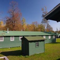
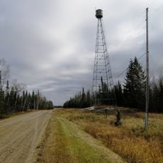
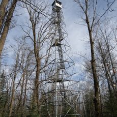
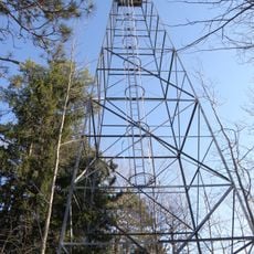
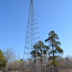
Pine Island State Forest, State forest in northern Minnesota, United States.

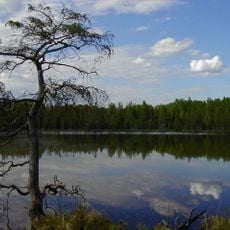
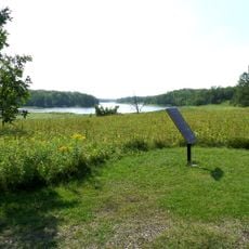
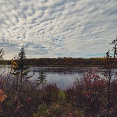
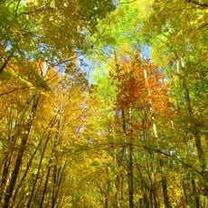
Pine Island State Forest is a large woodland spanning four counties in northern Minnesota, featuring sandy loam soils, wetlands, and diverse tree species. The Big Fork River flows through the area and shapes the landscape with its banks and water channels.

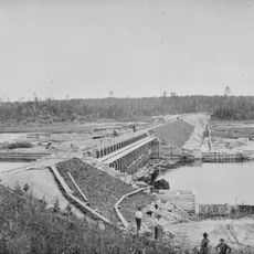
The woodland emerged following intensive logging in the early 1900s, when state authorities placed it under protection in 1933. Restoration and management have made it a significant forest resource in the region.

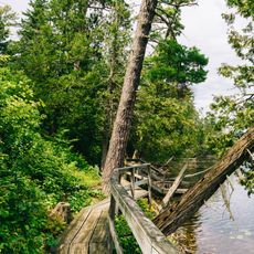
The forest maintains a network of 168 miles of designated hiking trails that connect visitors with the natural heritage of northern Minnesota.

The forest offers various opportunities for outdoor activities including hiking, fishing, and water sports on the Big Fork River. Visitors should prepare for changing weather conditions and bring suitable gear for the season.

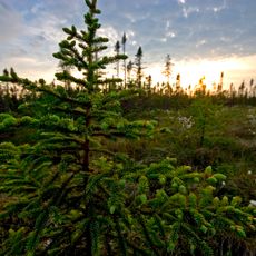
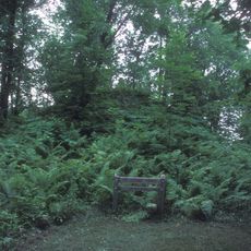
The forest contains extensive stands of old-growth cedar and pine, representing rare habitats in the region. These ancient tree communities shape the landscape and provide homes for specialized forest species.

The community of curious travelers

AroundUs brings together thousands of curated places, local tips, and hidden gems, enriched daily by 60,000 contributors worldwide.

Start exploring
Location
Location
GPS coordinates
48.18630,-94.18330
Latest update
December 14, 2025 18:45
Around this place
Lake Winnibigoshish
United States of America

Lake Winnibigoshish

82 km
Big Bog State Recreation Area
United States of America

Big Bog State Recreation Area

24.4 km
Lake Bemidji State Park
United States of America

Lake Bemidji State Park

86.2 km
Waldsee
United States of America

Waldsee

81.2 km
Grand Mound
United States of America

Grand Mound

50.9 km
Kay-Nah-Chi-Wah-Nung
Canada

Kay-Nah-Chi-Wah-Nung

51.9 km
Scenic State Park
United States of America

Scenic State Park

69.1 km
Fort Saint Pierre
Canada

Fort Saint Pierre

77.6 km
Rabideau CCC Camp
United States of America

Rabideau CCC Camp

66.6 km
Franz Jevne State Park
United States of America

Franz Jevne State Park

51.3 km
Bowstring State Forest
United States of America

Bowstring State Forest

85.8 km
Sts. Peter and Paul Russian Orthodox Church
United States of America

Sts. Peter and Paul Russian Orthodox Church

82 km
Finstad's Auto Marine Shop
United States of America

Finstad's Auto Marine Shop

78.1 km
Marcell Ranger Station
United States of America

Marcell Ranger Station

75.4 km
Bigfork Village Hall
United States of America

Bigfork Village Hall

63.1 km
United States of America

Debs Consolidated School

86.8 km
Koochiching County Courthouse
United States of America

Koochiching County Courthouse

73.5 km
Scenic State Park CCC/WPA/Rustic Style Historic Resources
United States of America

Scenic State Park CCC/WPA/Rustic Style Historic Resources

69.1 km
Lake Bemidji State Park CCC/NYA/Rustic Style Historic Resources
United States of America

Lake Bemidji State Park CCC/NYA/Rustic Style Historic Resources

87.1 km
Black Bay Lookout Tower
United States of America

Black Bay Lookout Tower

87.7 km
Faunce Lookout Tower
United States of America

Faunce Lookout Tower

72.9 km
Rapid River Fire Tower
United States of America

Rapid River Fire Tower

51.3 km
Rainy Lake Visitor Center
United States of America

Rainy Lake Visitor Center

87.6 km
Rabideau Civilian Conservation Corps Camp Picnic Shelter
United States of America

Rabideau Civilian Conservation Corps Camp Picnic Shelter

66.6 km
Blackduck Lookout Tower
United States of America

Blackduck Lookout Tower

62.1 km
Farley Hill Lookout Tower
United States of America

Farley Hill Lookout Tower

68.4 km
Linder Fire Tower
United States of America

Linder Fire Tower

82.7 km
Ruby Lake Camp
United States of America

Ruby Lake Camp

88 km
Show the full map
Reviews
Share your experience

No review yet

Discussions
Start a discussion...

No discussion yet

« Pine Island State Forest - State forest in northern Minnesota, United States » is provided by Around Us (aroundus.com). Images and texts are derived from Wikimedia project under a Creative Commons license. You are allowed to copy, distribute, and modify copies of this page, under the conditions set by the license, as long as this note is clearly visible.

Discover hidden gems everywhere you go!

From secret cafés to breathtaking viewpoints, skip the crowded tourist spots and find places that match your style. Our app makes it easy with voice search, smart filtering, route optimization, and insider tips from travelers worldwide. Download now for the complete mobile experience.

Around Us App Screenshot

A unique approach to discovering new places

Le Figaro

All the places worth exploring

France Info

A tailor-made excursion in just a few clicks

20 Minutes

Around Us
Travel Guide & Maps
Download

Send to your phone

QR Code
1

Open the camera app on your mobile.

2

Point at the QR code with your camera. A notification will appear.

3

Tap the notification to open the link.